Schotse Hooglanden & Speyside
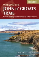 Wandelgids Walking the John o' Groats Trail | Cicerone
Guide to the John o' Groats Trail, a 233km walking route linking Inverness with John o' Groats on the northeast tip of mainland Britain. Much of the walking is coastal, …
★★★★★ Wandelkaart Glen Coe | Harvey Maps
Includes Buachaille Etive Mor, the Three Sisters of Glen Coe and Bidean nam Bian. Detailed map for hillwalkers of Glen Coe and the Aonach Eagach ridge at the popular …
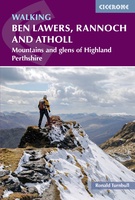 Wandelgids Walking Ben Lawers, Rannoch and Atholl | Cicerone
Wandelgids met 80 wandelingen van verschillende niveaus in het gebied van de Perthshire Highlands. The south-eastern Grampians of the former county of Perthshire may be grassier and less rugged than …
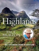 Reisverhaal The Highlands | Paul Murton
Paul Murton journeys the length and breadth of the spectacularly beautiful Scottish Highlands. In addition to bringing a fresh eye to popular destinations such as Glencoe, Ben Nevis, Loch Ness …
 Wandelkaart - Topografische kaart OL52 OS Explorer Map Glen Shee & Braemar | Ordnance Survey
Discover Glen Shee, less than two hours’ drive from all of Scotland’s major cities, yet a place of otherworldly beauty as its name, which translates to ‘the fairy glen’, attests. …
 Wandelgids Walks West Sutherland | Hallewell Publications
This guide covers walks in the rugged, empty landscape of West Sutherland, in the far north-west of Scotland. Walks range from 1 mile to 14 miles (1.5-22.5km). Routes include: Point …
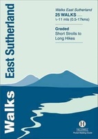 Wandelgids Walks East Sutherland | Hallewell Publications
This guide covers the less mountainous, eastern side of the county of Sutherland: an area of small coastal villages and wide, empty moorland. Walks range from 0.5 miles to 11 …
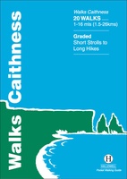 Wandelgids Walks Caithness | Hallewell Publications
This guide covers the old county of Caithness: and area of low-lying moorland and spectacular cliffs in the far north-east of the Scottish mainland. Walks range from 1 mile to …
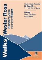 Wandelgids Walks Wester Ross Northern Area | Hallewell Publications
This guide features walks in the northern part of Wester Ross, from the Coigach peninsula in the north to the northern end of Loch Maree, including the villages of Ullapool …
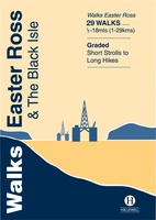 Wandelgids Walks Easter Ross and the Black Isle | Hallewell Publications
This guide includes coastal walks on the two large headlands north of Inverness and routes through the hills and broad straths to the west. Walks range from 0.5 miles to …
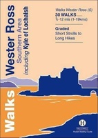 Wandelgids Walks Wester Ross Southern Area : Including Kyle of Lochalsh | Hallewell Publications
This guide features walks in the southern part of Wester Ross, in the area between Torridon in the north and Glenelg in the south. Walks range from 0.75 mile to …
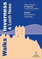 Wandelgids Walks Inverness and Loch Ness | Hallewell Publications
This guide includes walks near the city of Inverness, in the hills around Loch Ness and in the glens to the north. Walks range from 0.25 miles to 25 miles …
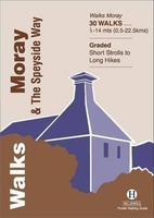 Wandelgids Walks Moray and the Speyside Way | Hallewell Publications
This guide covers the county of Moray in north-east Scotland – famous for its whisky distilleries. Includes coastal walks and hill routes in the northern Cairngorms. Walks range from 0.3 …
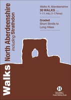 Wandelgids Walks North Aberdeenshire | Hallewell Publications
This guide covers hilly Strathdon and the farmland north of Aberdeen, plus the cliffs, beaches and fishing villages of the north-east coast. Walks range from 0.5 miles to 11 miles …
 Wandelgids Walks Mallaig and Ardnamurchan | Hallewell Publications
This guide covers the vast and spectacular west of Lochaber, and includes moorland walks, hill climbs, beach walks as well as walks on the Small Isles and Knoydart. Walks range …
 Wandelgids Walks Fort William and District | Hallewell Publications
Including Glencoe and the lower Great Glen, this guide covers the mountainous district of central Lochaber, including Britain’s highest peak – Ben Nevis – and the dramatic scenery around Glen …
 Wandelgids Walks Aviemore : Including Glenmore & Speyside | Hallewell Publications
This guide covers an upper stretch of the Spey Valley, from Grantown-on-Spey in the north to Newtonmore in the south. The main walking centres are Aviemore and Glenmore; the bulk …
 Wandelgids Deeside | Hallewell Publications
This guide covers the walks around Royal Deeside: Banchory, Aboyne, Ballater and Braemar, as well as Balmoral. Routes include climbs in the Cairngorm National Park, hill paths around Loch Muick …
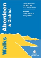 Wandelgids Aberdeen and District | Hallewell Publications
Walks Aberdeen & District covers the city of Aberdeen and the surrounding coast and countryside. Most of the walks are fairly gentle, though there are some fine hill walks on …
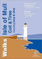 Wandelgids Isle of Mull, Coll and Tiree | Hallewell Publications
Rewalked and revised in 2015, Walks Isle of Mull, Coll & Tiree including Iona & Ulva includes walks on the Inner Hebridean island of Mull and the nearby islands. Mull …
Laatste reviews

De landkaart 363 Puglia van Michelin is voor wat betreft duidelijkheid naar mijn mening de beste die er voor deze regio is. Zeer bruikbare kaart!
★★★★★ door J.H.A. Mohr 14 november 2024 | Heeft dit artikel gekocht
Ik vind de kaart erg handig.
★★★★★ door Leo van Geene 14 november 2024 | Heeft dit artikel gekocht
Heerlijke kaart om routes op uit te stippelen. Groot en duidelijk, en waterbestendig! Heel blij mee.
★★★★★ door Annemiek 14 november 2024 | Heeft dit artikel gekocht
Snel geleverd en één vd weinige winkels in NL waar ze deze paspoorten verkopen.
★★★★★ door Eline 12 november 2024 | Heeft dit artikel gekocht

