Schotland
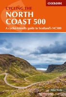 Fietsgids Cycling the North Coast 500 | Cicerone
Fietsgids van een langere route door Noord Schotland met een paar alternatieven als mogelijkheden: een behoorlijke lange route en niet te onderschatten wat betreft de zwaarte. Goede beschrijvingen, heel wat …
★★★★★★★★★★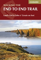 Wandelgids Walking The End to End Trail | Cicerone
Een droomroute voor velen: helemaal van het zuidelijkste puntje van Engeland naar het noordelijkste puntje van Schotland, zo'n slordige 1956 km door fabelachtig mooie afwisselende landschappen. Zeer gedetailleerd beschreven met …
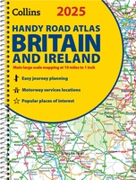 Wegenatlas 2025 Collins Handy Road Atlas Britain and Ireland | Collins
Handzame A5 wegenatlas van Engeland, Wales, Schotland en Ierland met register en stadsplattegronden This easy-to-use, handy A5 sized road atlas with popular lie-flat spiral binding features extremely clear route planning …
★★★★★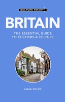 Reisgids Culture Smart! Britain - Groot Brittannië | Kuperard
De Cultuur Bewust!-gids geeft toeristen en zakenlieden belangrijke informatie met betrekking tot de cultuur van alledag in het land van bestemming. Anders dan in de gebruikelijke reisgidsen wordt de lezer …
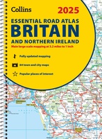 Wegenatlas Essential Road Atlas Britain 2025 | A4 | Ringband | Collins
This A4 road atlas with lie-flat spiral binding provides clear and detailed road mapping for England, Wales and Southern Scotland at a scale of 3.2 miles to 1 inch (1:200,000). …
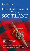 Historische Kaart Scotland Clans and Tartans Map | Collins
Prachtige kaart van Schotland waarin duideljk wordt welke cland er zijn geweest en nog zijn. Met een mooi overzicht van alle Tartans (Stoffen) die er aan gekoppeld zijn. Discover …
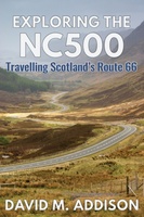 Reisgids Exploring the Nc500 | Extremis Publishing Limited
Travelling anti-clockwise, David M. Addison seeks his kicks on Scotland's equivalent of Route 66. Otherwise known as NC500, the route takes you through five hundred miles of some of Scotland's …
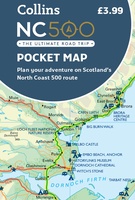 Wegenkaart - landkaart Pocket Map NC500 | Collins
Handy little full colour map of the popular North Coast 500 route. A perfect guide for travelling around Northern Scotland. Detailed mapping and tourist information ideal for any road trip. …
★★★★★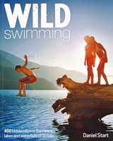 Reisgids Wild Swimming Britain | Wild Things Publishing
The all-new bumper second edition of the best-selling Wild Swimming photo guide is now fully revised and expanded to include 150 NEW amazing wild swimming locations (almost 400 in total), …
 Wegenkaart - landkaart Planning Map Scotland - Schotland | Lonely Planet
Durable and waterproof, with a handy slipcase and an easy-fold format, Lonely Planet's Scotland Planning Map helps you get around with ease. Get more from your map and your …
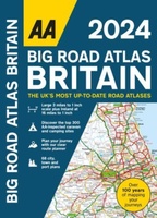 Wegenatlas Big Road Atlas Britain 2025 - A3 | Ringband | AA Publishing
This best-selling A3 format atlas is available in two binding styles; paperback and spiral bound. Up-to-date mapping from the experts at the AA this atlas has large 3 miles to …
★★★★★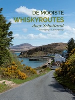 Reisgids De mooiste whiskyroutes door Schotland | Fontaine Uitgevers
'Offringa schrijft machtig mooie boeken. Zijn De mooiste whiskyroutes is daar een voorbeeld van. Je zit te popelen om hem achterna te reizen.' - Bouillon Magazine Hans Offringa trekt …
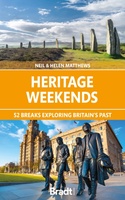 Reisgids Heritage Weekends | Bradt Travel Guides
History and heritage are among Britain’s greatest passions. Travel writers and historians Helen and Neil Matthews have selected 52 places that are wonderful examples of natural, architectural, industrial or cultural …
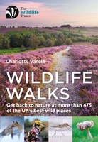 Wandelgids Wildlife Walks | Bloomsbury
The definitive guide to Britain's stunning wildlife heritage, showcasing more than 475 walks through the Wildlife Trust's forest, heaths, moors and woods. Published in conjunction with the Wildlife Trusts, …
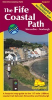 Wandelkaart The Fife Coastal Path | Footprint maps
A handy, waterproof map breaking down the Fife Pilgrim Way into seven sections. The Fife Pilgrim Way runs between North Queensferry or Culross and St Andrews. It is designed as …
 Wandelkaart Cairn Gorm | Harvey Maps
Includes 18 Munros of which 5 over 4000' (Cairn Gorm, Ben Macdui, Cairn Toul, Braeriach & Sgor an Loachain Uaine) and 3 Corbetts. Detailed map for hillwalkers of the …
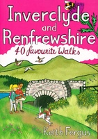 Wandelgids Inverclyde and Renfrewshire | Pocket Mountains
Bordered by the city of Glasgow to the east and the Firth of Clyde to the west, the villages and towns of Inverclyde and Renfrewshire prospered and grew during their …
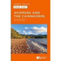 Wandelgids Aviemore and the Cairngorms | Ordnance Survey
Get outside in the Cairngorms, Britain’s largest national park, with ten tried-and-tested accessible walks along the Spey Valley. Discover ancient Caledonian woodland, beautiful lochs and sparkling rivers against a backdrop …
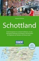 Reisgids Reise-Handbuch Schottland | Dumont
Een praktisch handboek voor alle individuele reizigers, die zelf hun reis willen samenstellen over Schotland. Van ieder hoofdstuk de belangrijkste informatie in één oogopslag: de bezienswaardigheden, tips en bijzondere ontdekkingen, …
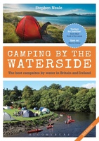 Campinggids Camping by the Waterside | Bloomsbury
This stylish and inspiring book contains all the information campers need to make the most of the wonderful waterside locations throughout the UK and Ireland. Covering all kinds of camping …
Laatste reviews

Snelle levering goede kwaliteit
★★★★★ door SCG Bergmans 27 december 2024 | Heeft dit artikel gekocht
Compact en nuttige informatie
★★★★★ door Edwin van der Zijde 27 december 2024 | Heeft dit artikel gekocht
Prima naslagwerk ter voorbereiding van de tochten. Bovendien een snelle levering.
★★★★★ door Léon 27 december 2024 | Heeft dit artikel gekocht
Een heel duidelijke en voldoende gedetailleerde kaart. Ook actueel dus inclusief de veranderingen in het landschap door de vulkaanuitbarsting in 2021.
★★★★★ door Paul 27 december 2024 | Heeft dit artikel gekocht

