Schotland
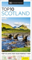 Reisgids Eyewitness Top 10 Scotland | Dorling Kindersley
 Wandelkaart Rob Roy Way | Harvey Maps
Mooie, duidelijke kaart van de Rob Roy Way in Schotland. Geplastificeerd met veel extra informatie en uitsnedes van de route. One of Scotland's Great Trails Rob Roy Way …
 Wandelkaart South Loch Ness Trail | Harvey Maps
Mooie, duidelijke kaart van de South Loch Ness Trail in Schotland. Geplastificeerd met veel extra informatie en uitsnedes van de route. This map has been produced in association with …
★★★★★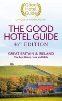 Accommodatiegids - Bed and Breakfast Gids The Good Hotel Guide Great Britain & Ireland | Good hotel guide
The Good Hotel Guide is the leading independent guide to hotels in Great Britain and Ireland. It is written for the reader seeking impartial advice on finding a good place …
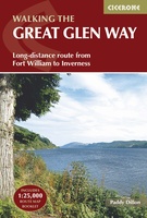 Wandelgids The Great Glen Way | Cicerone
Uitstekende wandelgids van de Great Glen Way, waarbij naast alle noodzakelijke informatie ook gebruik gemaakt wordt van de echte topografische kaart. inclusief gidsje met routekaarten van 1:25000 (deze is hier …
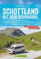 Campergids Mit dem Wohnmobil Schottland | Bruckmann Verlag
Een mooie, rijk geillustreerde campergids over Schotland. Aan de hand van een aantal routes (zie overzicht) kun je deze gids goed gebruiken om engeland te berijden met een camper. Aan …
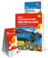 Campinggids Campingführer Deutschland & Nordeuropa - Duitsland & Noord Europa 2024 | ADAC
Erg uitgebreide campinggids van Noord Europa, in het Duits. Met gratis ADAC kortingskaart. Mit dem ADAC Campingführer Deutschland/Nordeuropa wird die Suche nach dem perfekten Campingplatz zum Vergnügen. Ob Urlaub vor …
★★★★★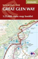 Wandelatlas The Great Glen Way | Cicerone
Handzaam gidsje met alleen de topografische routekaarten van 1:25000. De uitgebreide wandelgids (inclusief dit gidsje) is hier te bestellen. This booklet of Ordnance Survey 1:25,000 Explorer maps has been designed …
★★★★★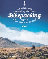 Fietsgids Bikepacking – Mountain Bike Camping Adventures on the Wild Trails of Britain | Wild Things Publishing
Cycling journalist Laurence McJannet embarks on an off-road adventure to bike and wild camp his way along 30 of Britain’s most beautiful off-road trails and ancient trackways. Lightweight ‘bikepacking’ is …
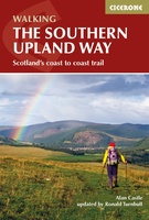 Wandelgids The Southern Upland Way | Cicerone
Uitstekende wandelgids van de Southern Upland Way, waarbij naast alle noodzakelijke informatie ook gebruik gemaakt wordt van de echte topografische kaart. The Southern Upland Way is Scotland's coast-to-coast walk …
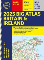 Wegenatlas Big Atlas Britain & Ireland 2024 A3-Formaat | Philip's Maps
Goede gedetailleerde wegenatlas van Groot-Brittannië, schaal 1:200.000 met een overzichtskaart van Ierland, schaal 1:1.000.000. Groot formaat, A3, en in ringband. 'Good balance between detail and clarity with excellent town maps' …
★★★★★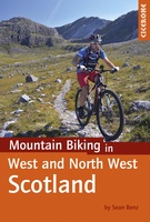 Fietsgids - Mountainbikegids Mountain Biking in West and North West Scotland | Cicerone
Degelijke fietsgids met 25 mountainbike routes in west en noord-west Schotland. Goede beschrijvingen en duidelijke kaarten. This guidebook to mountain biking routes in North and North West Scotland describes …
★★★★★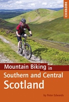 Fietsgids - Mountainbikegids Mountain Biking in Southern and Central Scotland | Cicerone
Degelijke fietsgids met 21 mountainbike routes in zuid en midden Schotland. Goede beschrijvingen en duidelijke kaarten. This guidebook describes 21 mountain biking routes in central and southern Scotland. It …
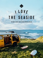 Reisgids I love the seaside Great Britain - Ireland, Groot Brittannie en Ierland | Mo'Media | Momedia
The I Love the Seaside Surf & Travel Guide to Great Britain & Ireland is a 464-page printed book (English language) exploring the (surf) coast of Britain and Ireland. From …
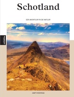 Reisgids PassePartout Schotland - een avontuur in de natuur | Edicola
Schotland, een land van ongerepte natuur met mistige hooglanden, woeste bergen, diepblauwe meren, prachtige valleien met watervallen, uitgestrekte bossen, heidevelden en een geweldige flora en fauna. In de 40 jaar …
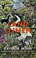 Reisverhaal Landlijnen | Raynor Winn
In haar unieke, beeldende, empathische stijl, doet bestsellerauteur Raynor Winn in het spectaculaire Landlijnen verslag van de zwaarste wandeltocht die zij en haar man Moth tot nu toe ondernamen. Te …
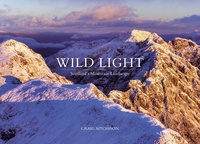 Fotoboek Wild Light | Vertebrate Publishing
Wild Light is a stunning panoramic exploration of the Scottish landscape by photographer Craig Aitchison, winner of the inaugural Scottish Landscape Photographer of the Year competition. Produced over seven years …
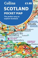 Wegenkaart - landkaart Pocket Map Scotland | Collins
Handy little full colour map of Scotland. Excellent value and very detailed for its size. Double-sided folded map with the Central Belt, southern Scotland and northern England on one side …
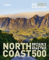 Reisgids North Coast 500 NC500 | Collins
Highly illustrated, full colour book showcasing what is unique about the North Coast 500. Striking images and descriptive text of the best places to visit are shown along with a …
★★★★★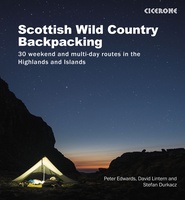 Wandelgids Scottish Wild Country Backpacking | Cicerone
Stunning backpacking routes in the Scottish Highlands and Islands are covered in this inspiring, large-format guidebook. 30 routes are described, ranging from 1-4 days, with most suitable for a long …
Laatste reviews

Kan de huidige ontstuimige ontwikkelingen wereldwijd, nu ook geografisch plaatsen en daarmee beter volgen.
★★★★★ door Leo Janssen 20 december 2024 | Heeft dit artikel gekocht
We hadden Piëmonte al eens bezocht en voor onze komende reis werd ons door kennissen deze gids aanbevolen. Inderdaad is dit een heel goede gids. …
★★★★★ door DWKdB 19 december 2024 | Heeft dit artikel gekocht
Mijn bestellingen zijn altijd goed en worden altijd op tijd geleverd. Komen afspraken goed na. Erg tevreden.
★★★★★ door Ben Wegdam 19 december 2024 | Heeft dit artikel gekocht
Zeer gedetailleerde kaart van het zuidelijke deel van het douaniers pad
★★★★★ door Marian 18 december 2024 | Heeft dit artikel gekocht

