Engeland
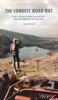 Wegenkaart - landkaart Routemap The Longest Road Out | Longestroadout
Deze kaart hoort bij het boek The Longest Road Out
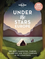 Reisinspiratieboek Under the Stars - Europe | Lonely Planet
From wild camping to curling up in a cabin, discover 200 amazing places to sleep under the stars in Europe. Lonely Planet's experts have scoured the continent to recommend the …
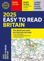 Wegenatlas Easy to Read Road Atlas Britain 2025 | Philip's Maps
"The detail you need at a size you can read". The latest 2025 Philip's Easy to Read Road Atlas of Britain from the best-selling Road Atlas range has over 350 …
★★★★★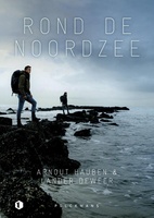 Reisverhaal Rond de Noordzee | Arnout Hauben
Wat zouden we zonder de Noordzee zijn? Haar eb en vloed bepaalt al een eeuwigheid ons leven. Ze wordt bezongen en bewonderd. We zoeken de rust op aan haar eindeloze …
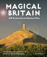 Reisgids Magical Britain Rediscovering Our Animist Landscapes & Sacred Sites | Wild Things Publishing
This richly illustrated guide to 650 places will appeal to those who want to explore Britain's lost animist landscape of fairies, folklore, myth and paganism. Discover pre-Christian healing shrines and …
 Reisgids Lonely Planet NL Wijnroutes Europa | Kosmos Uitgevers
De wijnroutes van Lonely Planet voeren je van Alentejo in Portugal naar Transsylvanië in Roemenië. Ontmoet wijnmakers van de beste wijnhuizen in de verschillende regio’s en maak kennis met hun …
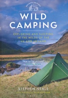 Campinggids Wild Camping UK and Ireland | Conway
Als je echt op zoek bent naar bijzondere kampeerplekken in Engeland, Schotland en Ierland dan is dit je boek: het beschijft de meest afgelegen plekkenin het wild waar je je …
 Wegenatlas Great Britain and Northern Ireland Road Atlas 2024 | A-Z Map Company
A full-colour, paperback road atlas of Great Britain, now fully revised and updated. Clear detailed road mapping at a scale of 3.5 miles to 1 inch. Presented in a large, …
 Wegenkaart - landkaart Road Map of Britain 2025 | Collins
Full-colour, double-sided road map of Great Britain at a scale of 8.7 miles to 1 inch. Northern England, Scotland and the Isle of Man are on one side with Southern …
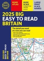 Wegenatlas Philip's Easy to Read Road Atlas of Britain 2025 | A3-Formaat | Paperback | Philip's Maps
With the detail you need at a size you can read, the latest edition of 2025 Philip's Big Easy to Read Road Atlas of Britain is super-clear, super-sized and bang …
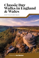 Wandelgids Day Walks Classic Day Walks in England & Wales | Vertebrate Publishing
Classic Day Walks in England & Wales features a selection of 20 of the best day-length hillwalking routes from Vertebrate Publishing's popular series of walking guidebooks. Edited by Jon Barton, …
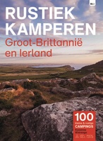 Campinggids Rustiek Kamperen in Groot-Brittannië en Ierland | Bert Loorbach Uitgeverij
De serie Rustiek Kamperen heeft in de afgelopen twintig jaar een grote schare liefhebbers van natuurlijk en kleinschalig kamperen opgebouwd. Met deze geheel nieuwe gids heb je de beste selectie …
★★★★★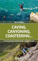 Reisgids Caving, Canyoning, Coasteering | Bradt Travel Guides
You don't need to be ultra-fit or highly experienced in the outdoors to enjoy outdoor guru Patrick Kinsella's selection of 30 activities across Britain. 'A sense of adventure and an …
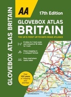 Wegenatlas AA Glovebox Atlas Britain | AA Publishing
This handy atlas fits in the glovebox of your car, perfect for quick referencing on the move. The clear mapping includes a range of essential motoring and useful touring information …
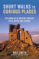 Wandelgids - Reisgids Short Walks to Curious Places Great Britain | Conway
Embark on an extraordinary journey through the British countryside, leading to mysterious sites, ancient wonders and legendary landscapes to uncover 50 of the most intriguing walks in Britain. Discover the …
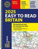 Wegenatlas Philip's Easy to Read Road Atlas of Britain 2025 | A4-Formaat | Ringband | Philip's Maps
"The detail you need at a size you can read". The latest 2025 Philip's Easy to Read Road Atlas of Britain from the best-selling Road Atlas range has over 350 …
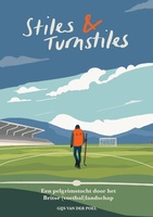 Reisverhaal Stiles & Turnstiles | Gijs van der Poel
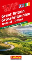 Wegenkaart - landkaart Grossbritannien, Irland - Groot Britannie, Ierland | Hallwag
Prima kaart van heel Groot Brittannie en Ierland , dubbelzijdig bedrukt met plaatsnamen index. Road map Great Britain / Ireland Road map with transit plans, location index, tourist information and …
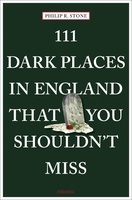 Reisgids 111 places in Dark Places in England That You Shouldn't Miss | Emons
Our significant dead and mortality moments are remembered at dark tourism sites, where complex issues of politics, history and ethics are exposed. This first-ever travel guide to dark tourism in …
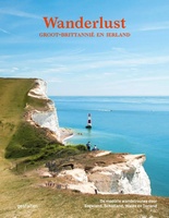 Reisinspiratieboek - Wandelgids Wanderlust - Groot-Brittannië en Ierland | Kosmos Uitgevers
Laatste reviews

De landkaart 363 Puglia van Michelin is voor wat betreft duidelijkheid naar mijn mening de beste die er voor deze regio is. Zeer bruikbare kaart!
★★★★★ door J.H.A. Mohr 14 november 2024 | Heeft dit artikel gekocht
Ik vind de kaart erg handig.
★★★★★ door Leo van Geene 14 november 2024 | Heeft dit artikel gekocht
Heerlijke kaart om routes op uit te stippelen. Groot en duidelijk, en waterbestendig! Heel blij mee.
★★★★★ door Annemiek 14 november 2024 | Heeft dit artikel gekocht
Snel geleverd en één vd weinige winkels in NL waar ze deze paspoorten verkopen.
★★★★★ door Eline 12 november 2024 | Heeft dit artikel gekocht

