Engeland
 Reisgids Camping Road Trips: Britain | Bradt Travel Guides
Camping Road Trips UK showcases a personal selection of 30 road trips throughout the UK and Jersey (Channel Islands), all suitable for campervans, motorhomes, long-distance cyclists and any other road …
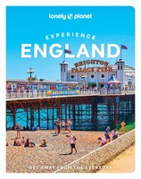 Reisgids Experience England - Engeland | Lonely Planet
De nieuwste reisgidsen-serie van Lonely Planet: een luxe uitgave met als titel 'Experience... ' waarin aandacht voor de belangrijkste niet te missen hoogtepunten van het land. Ook hier wordt het …
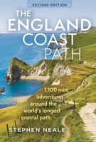 Wandelgids - Reisgids The England Coast Path | Bloomsbury
The definitive guidebook to the entire 3,000-mile length of the new England Coast Path. For anyone planning a trip to the coast or a UK summer holiday, the new England …
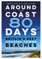 Reisgids Around the Coast in 80 Days | Bloomsbury
Around the Coast in 80 Days is an indispensable guide to the very best of Britain's diverse coastline. Whether you have just an afternoon, a whole day, a free weekend, …
 Wandelgids National Trust - Pub Walks | Collins
What better gift for a rambler than this delightful, clearly written and well researched guide to some of the UK's best walks with watering holes en route? .... With 'How …
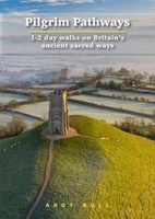 Wandelgids Pilgrim Pathways | Trailblazer Guides
Many people are inspired by the idea of going on a pilgrimage. TV series such as The Road to Rome and The Road to Santiago have shown that even the …
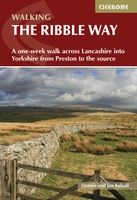 Wandelgids The Ribble Way | Cicerone
The 72 mile (116km) Ribble Way is described in seven stages, ranging from 8.25 to 17 miles (13.3 to 27.4km). The route follows the Ribble valley, from the estuary mouth …
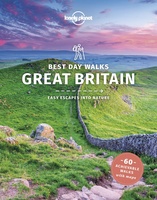 Wandelgids Best Day Walks Great Britain - Groot Brtittanië | Lonely Planet
Lonely Planet heeft een nieuwe serie uitgebracht: Best Day Walks in verschillende landen. Het zijn de - door Lonely Planet uitgekozen - mooiste wandelingen verspreid over het land. Goed beschreven, …
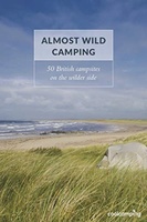 Campinggids Almost Wild Camping | Punk Publishing
At a time when interest in the outdoors is at an all time high, this year sees the launch of a brand new guidebook: Almost Wild Camping, from the experts …
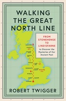 Reisverhaal Walking the Great North Line | Robert Twigger
Robert Twigger, poet and travel author, was in search of a new way up England when he stumbled across the Great North Line. From Christchurch on the South Coast to …
 Wandelgids Heart of the Cotswolds | Rucksack Readers
“Waterproof paper, clear mapping, excellent photography and a knowledgeable text ”- Outdoor Focus The Cotswolds is the quintessential heart of England, with its rich cultural history, medieval ‘wool’ churches …
 Wandelgids Nidderdale Way | Rucksack Readers
The Yorkshire Dales are famously beautiful valleys in northern England, but Nidderdale is perhaps the least known of them. Unique among the dales, this scenic valley has three large reservoirs …
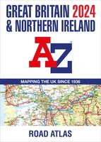 Wegenatlas Great Britain and Northern Ireland Road Atlas 2024 | A-Z Map Company
A full-colour, paperback road atlas of Great Britain, now fully revised and updated. Clear detailed road mapping at a scale of 3.5 miles to 1 inch. Presented in a large, …
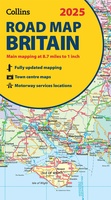 Wegenkaart - landkaart Road Map of Britain 2025 | Collins
Full-colour, double-sided road map of Great Britain at a scale of 8.7 miles to 1 inch. Northern England, Scotland and the Isle of Man are on one side with Southern …
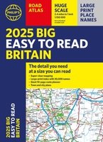 Wegenatlas Philip's Easy to Read Road Atlas of Britain 2025 | A3-Formaat | Paperback | Philip's Maps
With the detail you need at a size you can read, the latest edition of 2025 Philip's Big Easy to Read Road Atlas of Britain is super-clear, super-sized and bang …
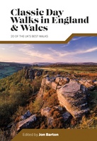 Wandelgids Day Walks Classic Day Walks in England & Wales | Vertebrate Publishing
Classic Day Walks in England & Wales features a selection of 20 of the best day-length hillwalking routes from Vertebrate Publishing's popular series of walking guidebooks. Edited by Jon Barton, …
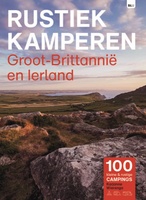 Campinggids Rustiek Kamperen in Groot-Brittannië en Ierland | Bert Loorbach Uitgeverij
De serie Rustiek Kamperen heeft in de afgelopen twintig jaar een grote schare liefhebbers van natuurlijk en kleinschalig kamperen opgebouwd. Met deze geheel nieuwe gids heb je de beste selectie …
★★★★★ Reisgids Caving, Canyoning, Coasteering | Bradt Travel Guides
You don't need to be ultra-fit or highly experienced in the outdoors to enjoy outdoor guru Patrick Kinsella's selection of 30 activities across Britain. 'A sense of adventure and an …
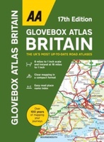 Wegenatlas AA Glovebox Atlas Britain | AA Publishing
This handy atlas fits in the glovebox of your car, perfect for quick referencing on the move. The clear mapping includes a range of essential motoring and useful touring information …
 Wandelgids 049 Pathfinder Guides Vale of York and the Yorkshire Wolds | Ordnance Survey
Wandelgids van een deel van Engeland. Deze gids bevat 28 dagwandelingen, variërend van korte tochten tot pittige dagtochten. De bijbehorende kaarten zijn uitstekend: men heeft de topografische kaarten van Ordnance …
Laatste reviews

Duidelijke website en een goede levering
★★★★★ door Meine Kuperus 13 januari 2025 | Heeft dit artikel gekocht
De eerste levering van de landkaart Oman is niet bezorgd door PostNL. Daarom heb ik contact opgenomen. Zonder probleem werd een nieuwe levering toegezegd en …
★★★★★ door Els 12 januari 2025 | Heeft dit artikel gekocht
Handig formaat met overzichtelijke nuttige inhoud. Ruimte voor notities. Een aanrader dus.
★★★★★ door Vera van Miert 10 januari 2025 | Heeft dit artikel gekocht
Wij hebben veel gereisd door Griekenland Ondanks alle navigatie systemen vertrouwen nog steeds op de (ouderwetse landkaarten) Bij de zwerver kun je bijna alle kaarten …
★★★★★ door Henri Nonhebel 09 januari 2025 | Heeft dit artikel gekocht

