Schotse Hooglanden & Speyside
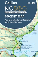 Wegenkaart - landkaart Pocket Map NC500 | Collins
Handy little full colour map of the popular North Coast 500 route. A perfect guide for travelling around Northern Scotland. Detailed mapping and tourist information ideal for any road trip. …
★★★★★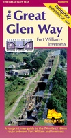 Wandelkaart The Great Glen Way | Footprint maps
The complete map/guide of both routes between Fort William and Inverness. Also contains compact and concise practical information for walkers. For every copy of this map sold, a …
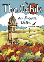 Wandelgids The Ochils | Pocket Mountains
Handige compacte wandelgids met 40 dagwandelingen. Deze gids bevat kleine kaartjes en leuke uitgebreide informatie over wat er langs de route te zien is. Goede wandelkaarten zijn echter we noodzakelijk …
 Wandelkaart Jura - Schotland | Harvey Maps
Shows the Paps of Jura and includes 1 Corbett and 2 Grahams. This detailed map for hillwalkers shows the whole of the Isle of Jura at the popular 1:25,000 …
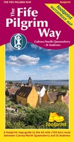 Wandelkaart The Fife Pilgrim Way | Footprint maps
A handy, waterproof map breaking down the Fife Pilgrim Way into seven sections. The Fife Pilgrim Way runs between North Queensferry or Culross and St Andrews. It is designed as …
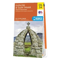 Wandelkaart - Topografische kaart OL54 OS Explorer Map Glen Esk & Glen Tanar | Ordnance Survey
Een van de beste detailkaarten die er op de wereld gemaakt worden: zeer gedetailleerd, prachtig helder kleurgebruik, veel topografische aspecten en - zeer belangrijk - allerlei toeristische en recreatieve aspecten …
 Wandelkaart East Highland Way | Harvey Maps
Mooie, duidelijke kaart van de East highland Way in Engeland. Geplastificeerd met veel extra informatie en uitsnedes van de route. East Highland Way is an exciting new unofficial long distance …
★★★★★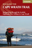 Wandelgids The Cape Wrath Trail | Cicerone
Uitstekende wandelgids die in etappes de route nauwkeurig beschijft. A guidebook to the Cape Wrath Trail, a long-distance trek through the Scottish Highlands from Fort William to Cape Wrath. The …
★★★★★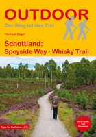 Wandelgids 43 Speyside Way - Whisky Trail (Schotland) | Conrad Stein Verlag
Wandelgids met een routebeschrijving van de Speyside weg in Schotland met veel praktische informatie en een goede beschrijving van de route. De kaarten zijn zeer leesbaar, maar wel een beetje …
 Wandelkaart Affric Kintail Way | Harvey Maps
Mooie, duidelijke kaart van de Affric Kintail way in Schotland. Geplastificeerd met veel extra informatie en uitsnedes van de route. De hele rote op 1 kaart, erg handig! The Affric …
★★★★★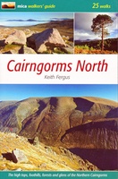 Wandelgids Cairngorms North | Mica Publishing
A detailed and superbly illustrated guidebook to walking the high tops, foothills, forests and glens of the Northern Cairngorms, one of Scotland's most popular mountain ranges, easily accessed from the …
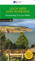 Wandelgids 030 Pathfinder Guides Loch Ness and Inverness | Ordnance Survey
Explore 28 beautiful walks across Loch Ness & Inverness with the OS Pathfinder Guidebooks, graded by length and ranging from 2 to 16 miles. The routes range from extended …
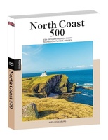 Reisgids PassePartout North Coast 500 | Edicola
Met het lanceren van de North Coast 500 in 2015 werd in één keer Noord-Schotland op de kaart gezet. De ruim 800 km lange route, die start en eindigt in …
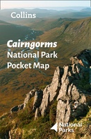 Wegenkaart - landkaart National Park Pocket Map Cairngorms | Collins
Handige kleine kaart van dit Nationaal Park. De kaart geeft een goed en helder overzicht van het gebied met alle plaatsen, doorgaande wandelpaden (alhoewel grof van schaal), bezienswaardigheden etc. Met …
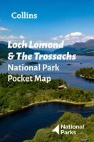 Wegenkaart - landkaart National Park Pocket Map Loch Lomond and the Trossachs | Collins
Handige kleine kaart van dit Nationaal Park. De kaart geeft een goed en helder overzicht van het gebied met alle plaatsen, doorgaande wandelpaden (alhoewel grof van schaal), bezienswaardigheden etc. Met …
 Wandelkaart John O'Groats trail | Harvey Maps
Mooie, duidelijke kaart van de John O'Groats trail in Schotland. Geplastificeerd met veel extra informatie en uitsnedes van de route. The John o' Groats Trail is a 237 km (147 …
★★★★★★★★★★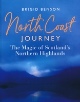 Reisgids North Coast Journey - Schotland | Birlinn
Als je echt enthousiast wilt worden over deze fantastische streek, dan is boek een echte aanrader. Veel illustraties maken het een lust voor het oog. Daarnaast veel tips over dit …
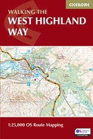 Wandelatlas West Highland Way Map Booklet - Kaartenset | Cicerone
Heel handig bedacht van uitgever Cicerone: een boekje dat dienst doet als atlas met alle topografische kaarten die je nodig hebt voor het lopen van de West Highland Way. Past …
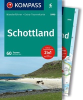 Wandelgids 5990 Wanderführer Schottland - an den Küsten und in den Highlands - Schotland | Kompass
Goede Duitstalige wandelgids met heldere beschrijvingen van de wandeltochten. Met hoogteprofiel, kaartje en de benodigde praktische informatie als bijvoorbeeld de startlocatie met GPS coordinaten. De wandelingen zijn ingedeeld in zwaarte …
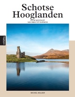 Reisgids PassePartout Schotse Hooglanden | Edicola
Schotland. Land van clans, kastelen, meren, eilanden en bergen. De Schotse Hooglanden en de Westkust vormen binnen dit Schotland een klasse apart. Heuvels en bergen voor zover het oog reikt, …
Laatste reviews

Kan de huidige ontstuimige ontwikkelingen wereldwijd, nu ook geografisch plaatsen en daarmee beter volgen.
★★★★★ door Leo Janssen 20 december 2024 | Heeft dit artikel gekocht
We hadden Piëmonte al eens bezocht en voor onze komende reis werd ons door kennissen deze gids aanbevolen. Inderdaad is dit een heel goede gids. …
★★★★★ door DWKdB 19 december 2024 | Heeft dit artikel gekocht
Mijn bestellingen zijn altijd goed en worden altijd op tijd geleverd. Komen afspraken goed na. Erg tevreden.
★★★★★ door Ben Wegdam 19 december 2024 | Heeft dit artikel gekocht
Zeer gedetailleerde kaart van het zuidelijke deel van het douaniers pad
★★★★★ door Marian 18 december 2024 | Heeft dit artikel gekocht

