Kaarten - Schotland
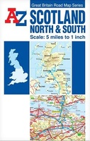 Wegenkaart - landkaart Scotland North & South | A-Z Map Company
The Great Britain Road Map series comprises of five fold-out sheet maps which together cover the whole of Great Britain. Shown at a scale of 5 miles to 1 inch, …
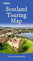 Wegenkaart - landkaart Touring Map of Scotland - Schotland | Collins
Best-selling map of Scotland. More than 1,000 places of tourist interest plotted and named on the map. The features have been plotted onto an up-to-date and attractive Collins map of …
★★★★★★★★★★ Wegenkaart - landkaart - Stadsplattegrond Edinburgh & Southern Scotland | ITMB
Plattegrond van Edinburgh, schaal 1:10.000, met op de achterzijde een overzichtskaart van zuid Schotland, schaal 1:370.000. Legend Includes: Roads by classification, Airports, Ferry lines, Railways, Railway stations, Bus terminals, Bicycle …
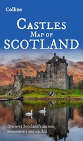 Wegenkaart - landkaart Castles map of Scotland - Schotland kastelen | Collins
Kaart waarop meer dan 700 kastelen in Schotland staan aangegeven. Discover Scotland's ancient monuments and castles. Explore Scotland’s ancient monuments with this pictorial map featuring over 700 castles and fortified …
★★★★★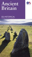 Wegenkaart - landkaart Ancient Britain | Ordnance Survey
The Ordnance Survey Ancient Britain map is a comprehensive guide to the most important archaeological sites of early English, Welsh and Scottish history. Ordnance Survey's Ancient Britain map shows Neolithic, …
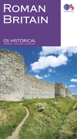 Wegenkaart - landkaart Roman Britain | Ordnance Survey
An informative map showing the location of the most important ancient monuments of Roman Britain. The map has been produced by Ordnance Survey in collaboration with the Ancient Monument Trusts …
 Camperkaart - Campinggids Scotland Campsites and Caravan Parks - Touring map | Scottishcamping.com
Dit soort kaarten zouden ze voor elk land moeten maken: heel duidelijk weergegeven vind je hier alle campings in Schotland op de voorzijde en op de achterzijde de adressen en …
 Wegenkaart - landkaart 9 Road Map Britain Scotland - Schotland | AA Publishing
Goede dubbelzijdige wegenkaart van Schotland met plaatsnamen index. Britain’s clearest mapping from the experts at the AA, in a handy foldable map. Fully updated, this map of Scotland combines clear …
★★★★★ Wegenkaart - landkaart Great Britain - Engeland - Schotland | ITMB
Een degelijke kaart met aanduidingen van o.a. nationale parken, vliegveld, benzinepomp, dirt-roads en kleine plattegrond van hoofdstad. Als overzichtskaart goed te gebruiken. This is the third set of …
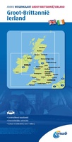 Wegenkaart - landkaart Groot-Brittanië en Ierland | ANWB Media
De ANWB heeft een grote serie wegenkaarten van de belangrijkste landen en streken. Het zijn echte overzichtskaarten van vaak een wat groter gebied. Deze keuze zorgt er voor dat de …
★★★★★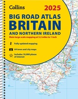 Wegenatlas Big Road Atlas Britain and Northern Ireland 2025 | A3 | Ringband | Collins
Grote wegenatlas, a3-formaat in ringband. The ultimate 3.2 miles to 1 inch scale large-format, spiral-bound road atlas of Britain, featuring Collins’ popular and well established road mapping, and designed for …
★★★★★★★★★★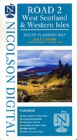 Wegenkaart - landkaart West Scotland - Western ISles - Schotland | Nicolson
Based on the Ordnance Survey 1/250000 Road mapping. Road Map 2 covers West Scotland & the Western Isles. Please scroll through the images to see the area of coverage …
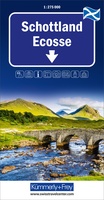 Wegenkaart - landkaart Schottland | Kümmerly & Frey
 Wandelkaart An Teallach | Harvey Maps
 Wegenkaart - landkaart Schotland | Reise Know-How Verlag★★★★★
 Wegenkaart - landkaart Pocket Map Scotland Film and TV Location Map | Collins
Full-colour, handy guide to more than 60 of the most popular film and TV locations in Scotland. Striking images and detailed descriptions allow for a comprehensive guide to Scotland's most …
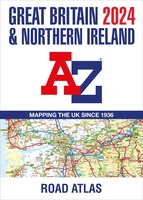 Wegenatlas Great Britain and Northern Ireland Road Atlas 2024 | A-Z Map Company
A full-colour, paperback road atlas of Great Britain, now fully revised and updated. Clear detailed road mapping at a scale of 3.5 miles to 1 inch. Presented in a large, …
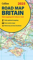 Wegenkaart - landkaart Road Map of Britain 2025 | Collins
Full-colour, double-sided road map of Great Britain at a scale of 8.7 miles to 1 inch. Northern England, Scotland and the Isle of Man are on one side with Southern …
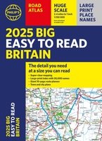 Wegenatlas Philip's Easy to Read Road Atlas of Britain 2025 | A3-Formaat | Paperback | Philip's Maps
With the detail you need at a size you can read, the latest edition of 2025 Philip's Big Easy to Read Road Atlas of Britain is super-clear, super-sized and bang …
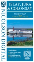 Wegenkaart - landkaart Islay, Jura & Colonsay Tourist Map | Nicolson
Nicolson Digital Tourist Maps are ideal for planning your visit to some of the most beautiful areas of Scotland. Tourist attractions and places are clearly marked. Topography is shown through …
Laatste reviews

Kan de huidige ontstuimige ontwikkelingen wereldwijd, nu ook geografisch plaatsen en daarmee beter volgen.
★★★★★ door Leo Janssen 20 december 2024 | Heeft dit artikel gekocht
We hadden Piëmonte al eens bezocht en voor onze komende reis werd ons door kennissen deze gids aanbevolen. Inderdaad is dit een heel goede gids. …
★★★★★ door DWKdB 19 december 2024 | Heeft dit artikel gekocht
Mijn bestellingen zijn altijd goed en worden altijd op tijd geleverd. Komen afspraken goed na. Erg tevreden.
★★★★★ door Ben Wegdam 19 december 2024 | Heeft dit artikel gekocht
Zeer gedetailleerde kaart van het zuidelijke deel van het douaniers pad
★★★★★ door Marian 18 december 2024 | Heeft dit artikel gekocht

