Wandelgidsen - Schotland
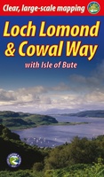 Wandelgids Loch Lomond & Cowal Way | Rucksack Readers
"Lavishly illustrated guidebook with route map plus practical information" - Scots Magazine The Loch Lomond & Cowal Way is one of Scotland's Great Trails. It runs for 57 miles (91 …
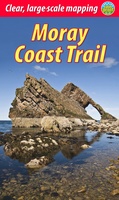 Wandelgids Moray Coast Trail | Rucksack Readers
The Mary Queen of Scots Way stretches across central Scotland from coast to coast, linking many places associated with Mary Queen of Scots. It runs for 107 miles (172 km) …
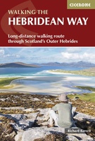 Wandelgids The Hebridean Way | Cicerone
Uitstekende wandelgids van de Hebridean Way, waarbij naast alle noodzakelijke informatie ook gebruik gemaakt wordt van de echte topografische kaart. Officially launched in 2017, the Hebridean Way offers walkers the …
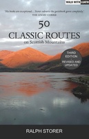 Wandelgids 50 Classic Routes on Scottish Mountains | Luath Press
If you enjoy walks in the countryside, Scotland should be on your list of places to visit, and you should bring this book as your guide. Anyone who has ever …
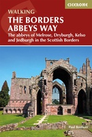 Wandelgids The Borders Abbeys Ways | Cicerone
Uitstekende wandelgids van de Borders Abbeys Way, waarbij naast alle noodzakelijke informatie ook gebruik gemaakt wordt van de echte topografische kaart. Guidebook to the Borders Abbeys Way, a 68 mile …
 Wandelgids Wildlife Walks | Bloomsbury
The definitive guide to Britain's stunning wildlife heritage, showcasing more than 475 walks through the Wildlife Trust's forest, heaths, moors and woods. Published in conjunction with the Wildlife Trusts, …
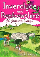 Wandelgids Inverclyde and Renfrewshire | Pocket Mountains
Bordered by the city of Glasgow to the east and the Firth of Clyde to the west, the villages and towns of Inverclyde and Renfrewshire prospered and grew during their …
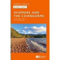 Wandelgids Aviemore and the Cairngorms | Ordnance Survey
Get outside in the Cairngorms, Britain’s largest national park, with ten tried-and-tested accessible walks along the Spey Valley. Discover ancient Caledonian woodland, beautiful lochs and sparkling rivers against a backdrop …
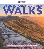 Wandelgids 100 outstanding British Walks | Ordnance Survey
Beschrijving van de 100 mooiste Pathfinder wandelingen in Engeland, Wales en Schotland. Uitstekende beschrijving van de route met een zeer duidelijke topografische kaart waarop de route is ingetekend. This magnificent …
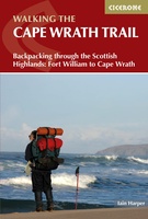 Wandelgids The Cape Wrath Trail | Cicerone
Uitstekende wandelgids die in etappes de route nauwkeurig beschijft. A guidebook to the Cape Wrath Trail, a long-distance trek through the Scottish Highlands from Fort William to Cape Wrath. The …
★★★★★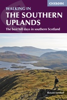 Wandelgids Walking in the Southern Uplands | Cicerone
This guidebook describes 44 routes and over 100 summits stretching across the Southern Uplands of Scotland, stretching south-west from Edinburgh to the English border, including the Galloway and Pentland Hills. …
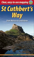 Wandelgids St. Cuthbert's Way | Rucksack Readers
Lange afstandswandelgids van de St. Cuthbert's Way wandeling. Wandelgids met kaarten en beschrijving. op waterbestendig papier, in spiraalbinding. Follow the footsteps of St Cuthbert in this easy-going walk of 63 …
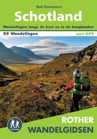 Wandelgids Schotland | Uitgeverij Elmar
Deze wandelgids is een vertaling van de oorspronkelijke duitse versie. Het zijn klassiekers onder de wandelgidsen. Uitstekende wandelgids met een groot aantal dagtochten in dal en hooggebergte. Met praktische informatie …
★★★★★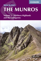 Wandelgids 2 Walking The Munros vol. 2 | Cicerone
Uitstekende wandelgids van het noorden van de Schotse Hooglanden en Cairngorms. Goed beschreven met veel praktische informatie om de route te kunnen lopen, inclusief redelijke kaarten. Volume two of Walking …
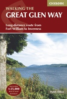 Wandelgids The Great Glen Way | Cicerone
Uitstekende wandelgids van de Great Glen Way, waarbij naast alle noodzakelijke informatie ook gebruik gemaakt wordt van de echte topografische kaart. inclusief gidsje met routekaarten van 1:25000 (deze is hier …
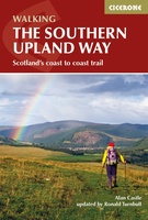 Wandelgids The Southern Upland Way | Cicerone
Uitstekende wandelgids van de Southern Upland Way, waarbij naast alle noodzakelijke informatie ook gebruik gemaakt wordt van de echte topografische kaart. The Southern Upland Way is Scotland's coast-to-coast walk …
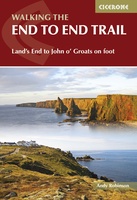 Wandelgids Walking The End to End Trail | Cicerone
Een droomroute voor velen: helemaal van het zuidelijkste puntje van Engeland naar het noordelijkste puntje van Schotland, zo'n slordige 1956 km door fabelachtig mooie afwisselende landschappen. Zeer gedetailleerd beschreven met …
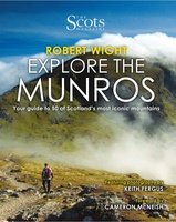 Wandelgids The Scots Magazine: Explore the Munros | Black and White Publishing
The Scottish landscape has a unique majesty like no other. It will sweep you away with the Alpine grandeur of the Skye Cuillin or enchant with the Arctic domes of …
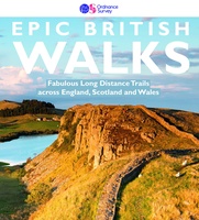 Wandelgids Epic British Walks | Ordnance Survey
This magnificent collection of truly EPIC WALKS brings together Britain’s most beautiful countryside with the long-distance trails that present the very best means of experiencing it. An inspiring introduction …
★★★★★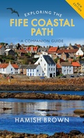 Wandelgids Exploring the Fife Coastal Path | Birlinn
This is the ideal guide to the whole route, so rich in history and natural beauty. Designed to be used by walkers on the Path or visitors to any point …
Laatste reviews

Kan de huidige ontstuimige ontwikkelingen wereldwijd, nu ook geografisch plaatsen en daarmee beter volgen.
★★★★★ door Leo Janssen 20 december 2024 | Heeft dit artikel gekocht
We hadden Piëmonte al eens bezocht en voor onze komende reis werd ons door kennissen deze gids aanbevolen. Inderdaad is dit een heel goede gids. …
★★★★★ door DWKdB 19 december 2024 | Heeft dit artikel gekocht
Mijn bestellingen zijn altijd goed en worden altijd op tijd geleverd. Komen afspraken goed na. Erg tevreden.
★★★★★ door Ben Wegdam 19 december 2024 | Heeft dit artikel gekocht
Zeer gedetailleerde kaart van het zuidelijke deel van het douaniers pad
★★★★★ door Marian 18 december 2024 | Heeft dit artikel gekocht

