Schotland
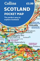 Wegenkaart - landkaart Pocket Map Scotland | Collins
Handy little full colour map of Scotland. Excellent value and very detailed for its size. Double-sided folded map with the Central Belt, southern Scotland and northern England on one side …
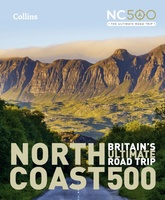 Reisgids North Coast 500 NC500 | Collins
Highly illustrated, full colour book showcasing what is unique about the North Coast 500. Striking images and descriptive text of the best places to visit are shown along with a …
★★★★★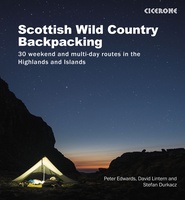 Wandelgids Scottish Wild Country Backpacking | Cicerone
Stunning backpacking routes in the Scottish Highlands and Islands are covered in this inspiring, large-format guidebook. 30 routes are described, ranging from 1-4 days, with most suitable for a long …
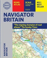 Wegenatlas Navigator Britain - Engeland en Schotland 1:100.000 | Philip's Maps
Bijzonder gedetaileerde wegenatlas van Engeland en Schotland op schaal 1:100.000 (met het noorden van Schotland 1:200.000). Alle wegen, bezienswaardigheden, National Trails, campings ... noem maar op en je vindt het …
★★★★★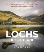 Reisgids The Lochs of Scotland - Schotland | Conway
There are at least 31,460 freshwater lochs in Scotland, and hundreds of sea lochs. This stunning book showcases more than 50 of the most popular, interesting and beautiful, and is …
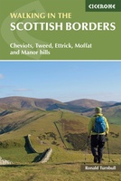 Wandelgids Walking in the Scottish Borders | Cicerone
This guidebook provides 45 day walks in the Scottish Borders. Separated into six sections, these walks are divided between the north and south Cheviots, Tweed, Ettrick, Moffat and Manor hills …
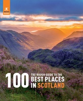 Reisgids The Rough Guide to the 100 Best Places in Scotland - Schotland | Rough Guides
The Rough Guide to the 100 Best Places in Scotland shines a light on the country's most spectacular places in a brand-new coffee-table book. From the wild and remote mountains …
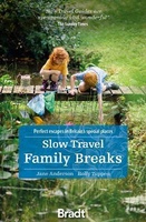 Reisgids Slow Travel Family Breaks | Bradt Travel Guides
Een bijzondere serie van Bradt guides. Met veel aandacht voor kleine details die je niet gauw elders zult vinden. Naast de beschrijvende informatie vind je ook een schat aan praktische …
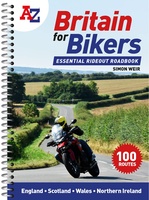 Wegenatlas Britain for Bikers | Voor Motoren | A-Z Map Company
Discover the best biking routes around Great Britain and Northern Ireland. Your essential rideout roadbook covering the best biking routes around Great Britain and Northern Ireland, including short trips and …
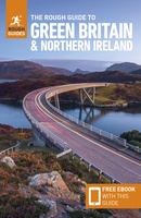 Reisgids Green Britain & Northern Ireland | Rough Guides
Een kleinere versie van de grotere versies van de Rough Guides. Als altijd weer vol met goede informatie over cultuur en praktische zaken. Achterin kleine plattegronden. Practical travel guide …
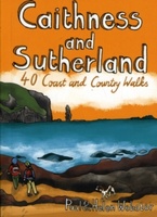 Wandelgids Caithness and Sutherland | Pocket Mountains
Handige compacte wandelgids met 40 dagwandelingen. Deze gids bevat kleine kaartjes en leuke uitgebreide informatie over wat er langs de route te zien is. Goede wandelkaarten zijn echter we noodzakelijk …
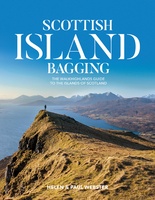 Reisgids Scottish Island Bagging | Vertebrate Publishing
Erg mooie gids met aandacht voor 154 Schotse eilanden die de moeite waard zijn om te bezoeken. Scottish Island Bagging by Helen and Paul Webster, founders of Walkhighlands, is …
 Spoorwegenkaart Schotland - Scotland Central and South Rail and Road | ITMB
Een degelijke kaart met aanduidingen van o.a. spoorlijnen, nationale parken, vliegveld, benzinepomp, dirt-roads en kleine plattegrond van hoofdstad. Als overzichtskaart goed te gebruiken. This is another new ITMB title and …
★★★★★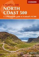 Fietsgids Cycling the North Coast 500 | Cicerone
Fietsgids van een langere route door Noord Schotland met een paar alternatieven als mogelijkheden: een behoorlijke lange route en niet te onderschatten wat betreft de zwaarte. Goede beschrijvingen, heel wat …
★★★★★★★★★★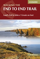 Wandelgids Walking The End to End Trail | Cicerone
Een droomroute voor velen: helemaal van het zuidelijkste puntje van Engeland naar het noordelijkste puntje van Schotland, zo'n slordige 1956 km door fabelachtig mooie afwisselende landschappen. Zeer gedetailleerd beschreven met …
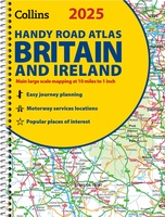 Wegenatlas 2025 Collins Handy Road Atlas Britain and Ireland | Collins
Handzame A5 wegenatlas van Engeland, Wales, Schotland en Ierland met register en stadsplattegronden This easy-to-use, handy A5 sized road atlas with popular lie-flat spiral binding features extremely clear route planning …
★★★★★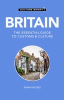 Reisgids Culture Smart! Britain - Groot Brittannië | Kuperard
De Cultuur Bewust!-gids geeft toeristen en zakenlieden belangrijke informatie met betrekking tot de cultuur van alledag in het land van bestemming. Anders dan in de gebruikelijke reisgidsen wordt de lezer …
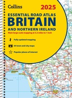 Wegenatlas Essential Road Atlas Britain 2025 | A4 | Ringband | Collins
This A4 road atlas with lie-flat spiral binding provides clear and detailed road mapping for England, Wales and Southern Scotland at a scale of 3.2 miles to 1 inch (1:200,000). …
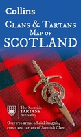 Historische Kaart Scotland Clans and Tartans Map | Collins
Prachtige kaart van Schotland waarin duideljk wordt welke cland er zijn geweest en nog zijn. Met een mooi overzicht van alle Tartans (Stoffen) die er aan gekoppeld zijn. Discover …
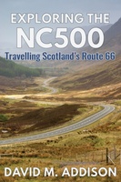 Reisgids Exploring the Nc500 | Extremis Publishing Limited
Travelling anti-clockwise, David M. Addison seeks his kicks on Scotland's equivalent of Route 66. Otherwise known as NC500, the route takes you through five hundred miles of some of Scotland's …
Laatste reviews

Kan de huidige ontstuimige ontwikkelingen wereldwijd, nu ook geografisch plaatsen en daarmee beter volgen.
★★★★★ door Leo Janssen 20 december 2024 | Heeft dit artikel gekocht
We hadden Piëmonte al eens bezocht en voor onze komende reis werd ons door kennissen deze gids aanbevolen. Inderdaad is dit een heel goede gids. …
★★★★★ door DWKdB 19 december 2024 | Heeft dit artikel gekocht
Mijn bestellingen zijn altijd goed en worden altijd op tijd geleverd. Komen afspraken goed na. Erg tevreden.
★★★★★ door Ben Wegdam 19 december 2024 | Heeft dit artikel gekocht
Zeer gedetailleerde kaart van het zuidelijke deel van het douaniers pad
★★★★★ door Marian 18 december 2024 | Heeft dit artikel gekocht

