Ierland
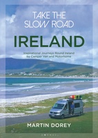 Campergids Take the Slow Road: Ireland - Ierland | Bloomsbury
The ultimate guide to the very best scenic and fun routes for camper vans and motorhomes around the valleys, mountains and coastlines of beautiful Ireland. Forget hurrying. Forget putting your …
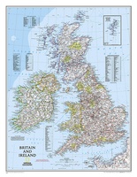 Wandkaart 02022 Britain and Ireland - Groot Brittannië en Ierland, 60 x 76 cm | National Geographic
This classic-style map of England and Wales shows political boundaries, major highways and roads, cities and towns, airports, and other geographic details. Thousands of place-names and exact borders are carefully …
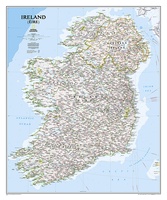 Wandkaart 20427 Ireland – Ierland, 76 x 91 cm | National Geographic
National Geographic Maps' new Ireland wall map is one of the most authoritative maps yet published of the Emerald Isle. Of the nearly 1,000 place-names shown on this map, all …
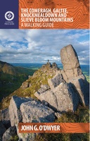 Wandelgids The Comeragh, Galtee, Knockmealdown & Slieve Bloom Mountains | The Collins Press
The Comeragh, Galtee, Knockmealdown & Slieve Bloom Mountains : A Walking Guide John G. O’Dwyer’s comprehensive guide to the best walks in Tipperary and Waterford has now been updated and …
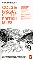 Fietsgids Cols and Passes of the British Isles
A col is the lowest point on the saddle between two mountains. Graham Robb has spent years uncovering and cataloguing the 2,002 cols and 105 passes scattered across the British …
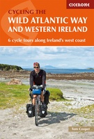 Fietsgids The Wild Atlantic Way and Western Ireland - Ierland | Cicerone
Uitstekende fietsgids van Cicerone over de westkust van Ierland. De routes zijn goed beschreven, met veel praktische informatie. Kaartmateriaal is redelijk, om echt op te fietsen wat summier. Boasting deserted …
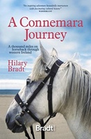 Reisverhaal A Connemara Journey | Hilary Bradt
Hilary Bradt's classic account of a journey through Ireland on horseback in the 1980s published for the first time in a single volume.In 1984, Hilary Bradt achieved an ambition from …
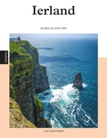 Reisgids PassePartout Ierland | Edicola
Het inspiratieboek “Ierland – de Wild Atlantic Way” laat de schoonheid van de Ierse westkust zien, die van oudsher een zeer populaire vakantiebestemming is. De term ‘Wild Atlantic Way’ is …
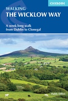 Wandelgids Walking the Wicklow Way | Cicerone
The Wicklow Way was the first long-distance walking trail to be established in Ireland. Coming in at 130km (81 miles), the route traverses the county of Wicklow, from Marlay Park …
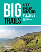 Wandelgids Big Trails Great Britain & Ireland Volume 2 | Vertebrate Publishing
Big Trails: Great Britain and Ireland Volume 2 is the second volume of this inspirational guide to the most iconic long-distance trails in England, Scotland, Wales, Ireland and the Channel …
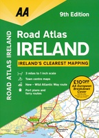 Wegenatlas Road Atlas Ireland - Ierland | AA Publishing
Handige wegenatlas van Ierland en Noord-Ierland, schaal 1:200.000. Met 10 stadsplattegronden: Belfast, Cork, Londonderry, Dublin, Galway, Killarney, Kilkenny, Limerick, Sligo and Waterford. Created from brand new mapping data, this atlas …
★★★★★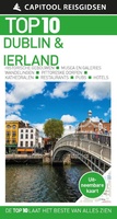 Reisgids Capitool Top 10 Dublin en Ierland | Unieboek
De naam zegt het al: een compacte versie van de veel geprezen Capitool serie. Eigenlijk vergelijkbaar met veel illustraties, veel aandacht voor cultuur en bevolking en hier en daar praktische …
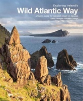 Reisgids Exploring Ireland's Wild Atlantic Way | Three Rock Books
De enige reisgids van de WIld Atlantic Way- The only guidebook dedicated to the Wild Atlantic Way! Exploring Ireland’s Wild Atlantic Way is essential reading for anyone planning to …
 Campergids Wohnmobil-Tourguide Irland - Ierland | Reise Know-How Verlag
Bizonder complete Campergids over Ierland: met alle mooie routes en bezienswaardigheden, maar tegelijk vol met praktische informatie die specifiek gericht is op de campergebruiker. Dieser Wohnmobil-Tourguide ist der ideale Begleiter, …
★★★★★ Vogelgids British Birds | Princeton University
A carefully designed and lavishly illustrated photographic guide This innovative and carefully designed photographic guide provides a concise introduction to the identification of the 246 birds most likely to be …
 Campergids Mit dem Wohnmobil Irland - Ierland | Bruckmann Verlag
Een mooie, rijk geillustreerde campergids over Ierland. Aan de hand van een aantal routes (zie overzicht) kun je deze gids goed gebruiken om Ierland te berijden met een camper. Aan …
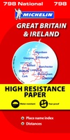 Wegenkaart - landkaart 798 Great Britain & Ireland | Michelin
Scheur- en watervast! Zoals je van Michelin mag verwachten is deze kaart zeer overzichtelijk en heeft een duidelijk helder kaartbeeld. De kaart geeft uitgebreid toeristische informatie weer. Met register, …
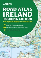 Wegenatlas Road Atlas Ireland | Collins
Explore Ireland with this accurate and fully updated road atlas. This road atlas is at A4 size, covering the whole of Ireland and features clear and detailed Collins colour mapping …
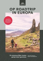 Reisgids Op roadtrip in Europa | Uitgeverij Zout
In Op roadtrip in Europa vind je 25 kant-en-klare routes in Europa die leuk zijn voor kinderen én hun ouders. Want hoe vind je tussen het grote aanbod de …
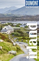 Reisgids Reise-Taschenbuch Irland | Dumont
Een praktisch handboek voor alle individuele reizigers, die zelf hun reis willen samenstellen over Ierland. Van ieder hoofdstuk de belangrijkste informatie in één oogopslag: de bezienswaardigheden, tips en bijzondere ontdekkingen, …
Laatste reviews

Kan de huidige ontstuimige ontwikkelingen wereldwijd, nu ook geografisch plaatsen en daarmee beter volgen.
★★★★★ door Leo Janssen 20 december 2024 | Heeft dit artikel gekocht
We hadden Piëmonte al eens bezocht en voor onze komende reis werd ons door kennissen deze gids aanbevolen. Inderdaad is dit een heel goede gids. …
★★★★★ door DWKdB 19 december 2024 | Heeft dit artikel gekocht
Mijn bestellingen zijn altijd goed en worden altijd op tijd geleverd. Komen afspraken goed na. Erg tevreden.
★★★★★ door Ben Wegdam 19 december 2024 | Heeft dit artikel gekocht
Zeer gedetailleerde kaart van het zuidelijke deel van het douaniers pad
★★★★★ door Marian 18 december 2024 | Heeft dit artikel gekocht

