Yorkshire and the Humber
 Reisgids 111 places in Places in Leeds That You Shouldn't Miss | Emons
Welcome to Leeds; a great northern powerhouse of a city which has reinvented itself from an industrial centre of wool, textiles and coal to one of the country’s biggest financial …
 Reisgids 111 places in Places in Yorkshire That You Shouldn't Miss | Emons
They call Yorkshire God’s own country. This is because England’s biggest county is also England’s most epic and most historically exciting. It has everything: unimaginably beautiful countryside, derelict castles, cliff-hugging …
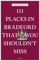 Reisgids 111 places in Places in Bradford That You Shouldn't Miss | Emons
Once a thriving textile city, Bradford has evolved into a powerhouse of artistic creativity and diverse visitor attractions. The first Unesco City of Film, and home to the World Heritage …
 Reisgids 111 places in Places in Sheffield That You Shouldn't Miss | Emons
Sheffield is yet to be discovered. Were you aware that football's first professional rule book was written in Sheffield, and that it is home to the oldest ground in professional …
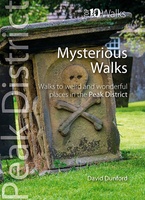 Wandelgids Mysterious Walks in the Peak District | Northern Eye Books
Even the Peak District’s name conceals a mystery. Forget the obvious: a visitor expecting towering peaks will be disappointed, as the name comes from the Pecsaetan tribe who once lived …
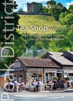 Wandelgids Tea Shop Walks | Northern Eye Books
The Peak District abounds with cafes and tea shops offering fabulous, freshly brewed coffee and a mouthwatering variety of speciality teas. This pocket-size guide picks carefully selected cafés across …
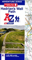 Wandelkaart Adventure Atlas Hadrian's Wall Path | A-Z Map Company
AZ heeft de meest gedetailleerde wandelkaarten van het Hadrian's Wall Path gebundeld in een atlasje. Daardoor is het heel handig qua formaat. De kaarten zelf zijn perfect voor het wandelen. …
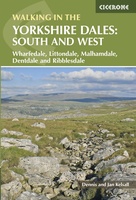 Wandelgids Walking in the Yorkshire Dales: South and West | Cicerone
Veelzijdige wandelgids van een deel van de Yorkshire Dales, goede kaarten en beschrijvingen en veel keuze uit een behoorlijk aantal wandelingen. Part of a two-book set, this guidebook describes 44 …
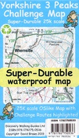 Wandelkaart Yorkshire 3 Peaks Challenge Map | Discovery Walking Guides
Goede scheur- en watervaste wandelkaart. OS 50k scale mapping is doubled in size to produce a 25k map but the features, text and logos are now doubled in size making …
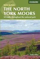 Wandelgids The North York Moors | Cicerone
Uitstekende wandelgids van dit geweldige gebied. Goed beschreven met veel praktische informatie om de routes te kunnen lopen, inclusief redelijke kaarten. Guidebook to 50 walks in the North York Moors …
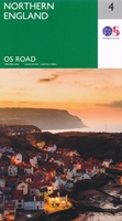 Wegenkaart - landkaart 4 OS Road Map Northern Engeland | Ordnance Survey
Een serie uitstekende wegenkaarten van Ordnance survey, de topografische dienst van Engeland. Alle 8 delen kennen een schaal van 1:250.000. Het kleurgebruik is uitbundig maar niet storend; integendeel, de hoogtes …
★★★★★★★★★★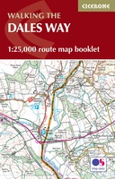 Wandelatlas The Dales Way Map Booklet | Cicerone
Heel handig bedacht van uitgever Cicerone: een boekje dat dienst doet als atlas met alle topografische kaarten die je nodig hebt voor het lopen van de Dales Way. Past goed …
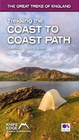 Wandelgids Trekking the Coast to Coast Path | Knife Edge Outdoor
The definitive two-way guide to the Coast to Coast Path: both eastbound and westbound routes are described in full. Real Maps: Full Ordnance Survey mapping inside (1:25,000). All accommodation is …
★★★★★ Fietskaart Yorkshire Dales Touring / Nidderdale Area of NB | Harvey Maps
This map provides a colourful overview of the Dales - famous Swaledale, Wensleydale, Wharfedale & Nidderdale. Colour shading makes it easy to pick out the hills & dales. Driveable roads …
 Wandelkaart Yorkshire Wolds Way | Harvey Maps
The Yorkshire Wolds Way is a 79 mile (127 km) walking route in the chalk landscape of the Yorkshire Wolds. The National Trail wends through some of the most tranquil …
 Wandelkaart Yorkshire Dales Noord-Oost | Harvey Maps
The Yorkshire Dales National Park on just 4 sheets. Yorkshire Dales North East: The coverage of this map includes Swaledale, Wharfedale, Wensleydale and Nidderdale. Genuine original HARVEY mapping at 1:25,000. …
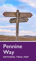 Wandelkaart National Trail Map Pennine Way | Collins
Overzichtskaart op vrij grove schaal van deze LAW Lange Afstands Wandeling in Engeland. Let op: je kunt er niet op lopen. Wel met veel informatie op de kaart, goed ingetekend, …
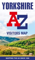 Wegenkaart - landkaart Visitors map Yorkshire | A-Z Map Company
Explore the whole region of Yorkshire extending from Sheffield to Darlington. With detailed road mapping and illustrated town plans of major cities, this feature rich, helpful tourist guide is ideal …
★★★★★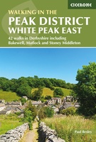 Wandelgids Walking in the Peak District - White Peak East | Cicerone
Uitstekende wandelgids van het Peak District van de gerenommeerde uitgever Cicerone. This guidebook provides 35 day walks and 7 longer walks and trails exploring the eastern section of Derbyshire's …
★★★★★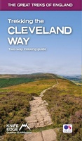 Wandelgids Trekking the Cleveland Way | Knife Edge Outdoor
The definitive two-way guide to the Cleveland Way, one of England's epic National Trails: both eastbound and westbound routes are described in full. Real Maps: Full Ordnance Survey mapping …
Laatste reviews

Dit is een actuele wegenkaart van Albanië en onlangs tot tevredenheid gebruikt tijdens een 10- daagse bustour door een groot deel van het land.
★★★★★ door J. Heck 12 november 2024 | Heeft dit artikel gekocht
Om een of andere reden werd de eerste verzending niet afgeleverd. Na klacht werd een tweede kaart (dezelfde) opgestuurd zonder discussie en beide kaarten kwamen …
★★★★★ door Luc Cappaert 12 november 2024 | Heeft dit artikel gekocht
Net wat ik nodig had en snelle levering
★★★★★ door Rosan Huizenga 11 november 2024 | Heeft dit artikel gekocht
We hebben al meer boekjes uit de Bikeline serie gehad en bevallen uitstekend
★★★★★ door Klaas Doornbos 10 november 2024 | Heeft dit artikel gekocht

