■ York
 Reisgids 111 places in Places in Leeds That You Shouldn't Miss | Emons
Welcome to Leeds; a great northern powerhouse of a city which has reinvented itself from an industrial centre of wool, textiles and coal to one of the country’s biggest financial …
 Reisgids 111 places in Places in Yorkshire That You Shouldn't Miss | Emons
They call Yorkshire God’s own country. This is because England’s biggest county is also England’s most epic and most historically exciting. It has everything: unimaginably beautiful countryside, derelict castles, cliff-hugging …
 Reisgids 111 places in Places in Bradford That You Shouldn't Miss | Emons
Once a thriving textile city, Bradford has evolved into a powerhouse of artistic creativity and diverse visitor attractions. The first Unesco City of Film, and home to the World Heritage …
 Reisgids 111 places in Places in Sheffield That You Shouldn't Miss | Emons
Sheffield is yet to be discovered. Were you aware that football's first professional rule book was written in Sheffield, and that it is home to the oldest ground in professional …
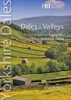 Wandelgids Dales & Valleys | Northern Eye Books
This attractive and cleverly structured guidebook gives walkers the ten finest circular routes in the valleys and dales of the Yorkshire Dales National Park in a popular pocketable format.With clear …
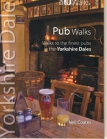 Wandelgids Pub Walks | Northern Eye Books
One of six books in the Yorkshire Dales: Top 10 Walks series. This attractive and cleverly structured guide gives walkers ten of the finest pub walks in the Yorkshire Dales …
 Wandelgids Yorkshire Dales Tea Shop Walks | Northern Eye Books
This attractive and cleverly structured guide gives walkers the ten best walks based around the loveliest tea shops, cafes and delis of the Yorkshire Dales National Park in a popular …
 Wandelgids Viewpoints Yorkshire Dales ( | Northern Eye Books
One of eight books in the popular Yorkshire Dales: Top 10 Walks series. Handy, pocket-sized, full colour walking guides written by experts. This attractive and cleverly structured guide gives walkers …
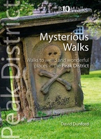 Wandelgids Mysterious Walks in the Peak District | Northern Eye Books
Even the Peak District’s name conceals a mystery. Forget the obvious: a visitor expecting towering peaks will be disappointed, as the name comes from the Pecsaetan tribe who once lived …
 Wandelgids Tea Shop Walks | Northern Eye Books
The Peak District abounds with cafes and tea shops offering fabulous, freshly brewed coffee and a mouthwatering variety of speciality teas. This pocket-size guide picks carefully selected cafés across …
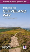 Wandelgids Trekking the Cleveland Way | Knife Edge Outdoor
The definitive two-way guide to the Cleveland Way, one of England's epic National Trails: both eastbound and westbound routes are described in full. Real Maps: Full Ordnance Survey mapping …
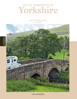 Campergids - Reisgids Met de camper door Yorkshire | Edicola
Yorkshire is een paradijs voor stoere wandelaars, natuurliefhebbers, honden, vogelaars, liefhebbers van ruïnes en van helemaal niet slaperige dorpjes en natuurlijk van Engelse pubs. Yorkshire heeft een spannende kust met …
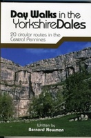 Wandelgids Day Walks in the Yorkshire Dales | Vertebrate Publishing
Day Walks in the Yorkshire Dales is the fourth title in Vertebrate Publishing's series of compact and portable hillwalking guidebooks. This book showcases 20 circular walks in the Yorkshire Dales …
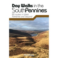 Wandelgids Day Walks in the South Pennines | Vertebrate Publishing
Day Walks in the South Pennines features 20 circular walks between 5 and 18 miles (8km and 29 km) in length, spread across West Yorkshire, Lancashire and Greater Manchester. Researched …
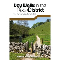 Wandelgids Day Walks in the Peak District | Vertebrate Publishing
Day Walks in the Peak District - 20 classic circular routes features 20 circular walks, between 8.25 and 12 miles (13 and 19.5 kilometres) in length, suitable for hillwalkers of …
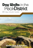 Wandelgids Day Walks in the Peak District | Vertebrate Publishing
Day Walks in the Peak District: 20 new circular routes features 20 circular walks, between 8 and 13 miles (14km and 21km) in length, suitable for hillwalkers of all abilities. …
 Wandelgids Hawes and Wensleydale | Hallewell Publications
Rewalked and updated in 2016, Walks Hawes & Wensleydale covers the Northern part of the Yorkshire Dales National Park - an area of rolling green hills, dramatic limestone features and …
 Wandelgids Malham and the Three Peaks | Hallewell Publications
Last rewalked and updated in 2021, Walks Malham & The Three Peaks covers part of The Yorkshire Dales National Park - an area of rolling green hills, dramatic limestone features …
 Wandelgids Grassington and Wharfedale | Hallewell Publications
The Yorkshire Dales National Park - an area of rolling green hills, dramatic limestone features and quaint villages - has five main dales (valleys). Walks Grassington & Wharfedale covers Wharfedale …
 Stadsplattegrond Pocket Street Map Sheffield | A-Z Map Company
This up-to-date detailed A-Z street map includes 3,219 streets in and around Sheffield. As well as the central shopping area, the other areas covered are Park Hill, Burngreave, Netherthorpe, Crookesmoor, …
Laatste reviews

Kan de huidige ontstuimige ontwikkelingen wereldwijd, nu ook geografisch plaatsen en daarmee beter volgen.
★★★★★ door Leo Janssen 20 december 2024 | Heeft dit artikel gekocht
We hadden Piëmonte al eens bezocht en voor onze komende reis werd ons door kennissen deze gids aanbevolen. Inderdaad is dit een heel goede gids. …
★★★★★ door DWKdB 19 december 2024 | Heeft dit artikel gekocht
Mijn bestellingen zijn altijd goed en worden altijd op tijd geleverd. Komen afspraken goed na. Erg tevreden.
★★★★★ door Ben Wegdam 19 december 2024 | Heeft dit artikel gekocht
Zeer gedetailleerde kaart van het zuidelijke deel van het douaniers pad
★★★★★ door Marian 18 december 2024 | Heeft dit artikel gekocht

