South East England
 Wandelgids Weekend Walks The Surrey Hills | Pocket Mountains
Although Surrey is not far from metropolitan London, it famously has more mature woodland than any other county in England and has long been renowned for its rolling hills and …
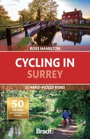 Fietsgids Cycling in Surrey | Bradt Travel Guides
Bradt's new cycling guide to Surrey - part of a growing series designed for the saddle bag - offers 21 routes, each including comprehensive directions plus contextual exploration of history, …
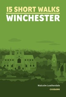 Wandelgids 15 Short Walks Winchester | Cicerone
Malcolm Leatherdale has chosen 15 of the best short walks around Winchester and central Hampshire for you to explore. Our guide comes with easy-to-read Ordnance Survey maps and clear route …
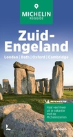 Reisgids Michelin groene gids Zuid-Engeland | Lannoo
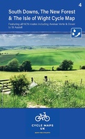 Fietskaart 04 Cycle Maps UK South Downs and The New Forest | Cordee
Een nieuwe fietskaarten serie van Groot-Brittannië. Gedrukt op scheur- en watervast papier en mooi handzaam klein formaat. Deze kaarten zijn met name heel goed om de Lange Afstands Fietsroutes (LF) …
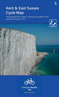 Fietskaart 05 Cycle Maps UK Kent, The High Weald and Kent Downs | Cordee
Een nieuwe fietskaarten serie van Groot-Brittannië. Gedrukt op scheur- en watervast papier en mooi handzaam klein formaat. Deze kaarten zijn met name heel goed om de Lange Afstands Fietsroutes (LF) …
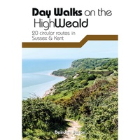 Wandelgids Day Walks on the High Weald | Vertebrate Publishing
Day Walks on the High Weald features 20 circular routes between 6.5 and 13.9 miles (10.5km and 22.4km) in length, spread across this Area of Outstanding Natural Beauty in the …
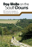 Wandelgids Day Walks n the South Downs | Vertebrate Publishing
Day Walks on the South Downs features 20 circular routes, between 6 and 14 miles (9km and 22km) in length, suitable for hill walkers of all abilities. The routes are …
 Wandelgids the New Forest | Hallewell Publications
Walks Malham & The Three Peaks is part of a popular series of A6 pocket walking guides which describe routes which are suitable for walkers of all abilities and to …
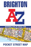 Stadsplattegrond Pocket Street Map Brighton | A-Z Map Company
Navigate your way around Brighton with detailed street maps from A-Z This up-to-date, folded A-Z street map includes 2,600 streets in and around Brighton. As well as the seafront and …
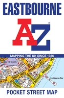 Stadsplattegrond Pocket Street Map Eastbourne | A-Z Map Company
Navigate your way around Eastbourne with detailed street maps from A-Z This up-to-date, folded A-Z street map indexes more than 2,000 streets in and around Cardiff. As well as Cardiff …
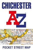 Stadsplattegrond Pocket Street Map Chichester | A-Z Map Company
This up-to-date detailed A-Z street map indexes 780 streets in and around Chichester. As well as the harbour, the other areas covered are Fishbourne, Stockbridge, Whyke and Portfield.The large scale …
 Stadsplattegrond Pocket Street Map Reading | A-Z Map Company
Navigate your way around Reading with detailed street maps from A-Z This up-to-date, folded A-Z street map includes all of the 1,500 streets in and around Reading. As well as …
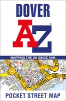 Stadsplattegrond Pocket Street Map Dover | A-Z Map Company
Navigate your way around Dover with detailed street maps from A-Z This up-to-date, folded A-Z street map includes all of the 1,500 streets in and around Dover as well as: …
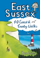 Wandelgids East Sussex | Pocket Mountains
Sitting alongside the English Channel in the southeast corner of England, East Sussex is famed for its rolling hills and magnificent wealdland, Norman battlefields and charming medieval villages, towering chalk …
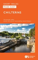 Wandelgids Chilterns | Ordnance Survey
 Reisverhaal Copsford | Walter J.C. Murray
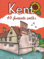 Wandelgids Kent | Pocket Mountains
Situated between the Thames Estuary and the Straits of Dover, the borderland county of Kent is home to tidal saltmarshes, high chalk downs, riverside meadows and ancient woodlands, as well …
 Reisgids D-Day Slag om Normandie | War travel
Deze reisgids is voor jou als je het meeste uit je reis naar Normandië wilt halen. Per landingsstrand en landinwaarts leidt deze reisgids jou langs de musea, monumenten, batterijen en …
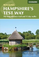 Wandelgids Hampshire's Test Way | Cicerone
Laatste reviews

Kan de huidige ontstuimige ontwikkelingen wereldwijd, nu ook geografisch plaatsen en daarmee beter volgen.
★★★★★ door Leo Janssen 20 december 2024 | Heeft dit artikel gekocht
We hadden Piëmonte al eens bezocht en voor onze komende reis werd ons door kennissen deze gids aanbevolen. Inderdaad is dit een heel goede gids. …
★★★★★ door DWKdB 19 december 2024 | Heeft dit artikel gekocht
Mijn bestellingen zijn altijd goed en worden altijd op tijd geleverd. Komen afspraken goed na. Erg tevreden.
★★★★★ door Ben Wegdam 19 december 2024 | Heeft dit artikel gekocht
Zeer gedetailleerde kaart van het zuidelijke deel van het douaniers pad
★★★★★ door Marian 18 december 2024 | Heeft dit artikel gekocht

