Boeken - North East England
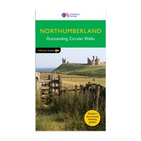 Wandelgids 087 Pathfinder Guides Northumberland | Ordnance Survey
Pathfinder® Guide to Northumberland, featuring 28 outstanding walks designed for a range of abilities covering 180 miles of walking. Features: 28 guided walks for a range of abilities …
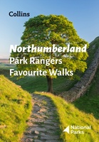 Wandelgids Park Rangers Favourite Walks Northumberland | Collins
The perfect companions for exploring the National Parks. Walking guide to the Northumberland National Park, with 20 best routes chosen by the park rangers. Each walk varies in length from …
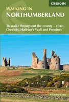 Wandelgids Walking in Northumberland | Cicerone
De wandelgidsen van Cicerone zijn toonaangevend als het gaat om kwaliteit en de hoeveelheid verschillende bestemmingen. De routes zijn helder en duidelijk beschreven, kaartmateriaal is veelal van de topografische dienst …
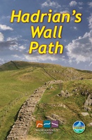 Wandelgids Hadrian's Wall path | Rucksack Readers
Uitgevoerd in de vorm van een klapper, met ringband geeft deze gids een goede beschrijving van de lange afstands route. De kaarten zijn schetsmatig maar wel duidelijk. Hadrian's Wall …
★★★★★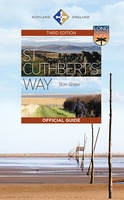 Wandelgids St Cuthbert's Way | Birlinn
This 100k (60 mile) walk was opened in 1996 and has rapidly increased in popularity, with thousands of walkers walking all or parts of it every year. Visiting a number …
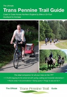 Fietsgids The Ultimate Trans Pennine Trail Guide | Excellent Books
Gidsboek voor de Trans Pennine Trail met spiraalbinding, inclusief kaarten, hoogtegrafieken en verblijfsmogelijkheden. The Trans Pennine Trail guide book covers the hugely popular 370 miles (595km) of trail across the …
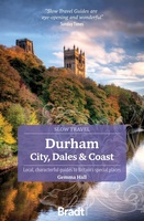 Reisgids Slow Travel Durham | Bradt Travel Guides
Travel writer Gemma Hall explored Durham extensively by bicycle and on foot to produce this brand new title in Bradt's award-winning series of Slow travel guides to UK regions. Walkers, …
★★★★★ Wandelgids Borders Abbeys Way | Rucksack Readers
The Borders Abbeys Way is one of Scotland's Great Trails, a fascinating circuit that takes in the historic ruined abbeys of Melrose, Dryburgh, Kelso and Jedburgh. Within its 68 miles …
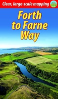 Wandelgids Forth to Farne Way | Rucksack Readers
This inspiring 70-mile pilgrim route starts from North Berwick on the Firth of Forth near Edinburgh, and continues via Whitekirk's 12th century church to Dunbar. It follows the North Sea …
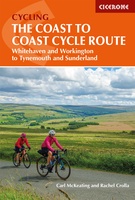 Fietsgids The Coast to Coast Cycle Route | Cicerone
This guidebook details the 137 mile sea-to-sea / C2C cycle route. This much loved short cycle tour across northern England takes you from Whitehaven or Workington on the west coast …
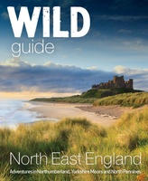 Reisgids Wild Guide North East England | Wild Things Publishing
Discover the hidden side of England's North East. From secret coves and deserted beaches to lost ruins, meadows and swimming rivers with over 1000 lesser-known places. Filled with spectacular photography …
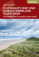 Wandelgids St Oswald's Way and Northumberland Coast Path | Cicerone
This guidebook describes the St Oswald's Way and Northumberland Coast Paths, both long-distance trails through Northumberland. St Oswald's Way (156km, 97 miles) begins in Heavenfield and traverses parts of Northumberland …
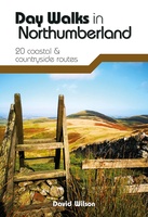 Wandelgids Day Walks in Northumberland | Vertebrate Publishing
Day Walks in Northumberlandfeatures 20 routes between 7.6 and 14.5 miles (12.2km and 23.3km) in length, spread across the coast and the countryside of Northumberland and suitable for hillwalkers of …
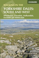 Wandelgids Walking in the Yorkshire Dales: South and West | Cicerone
Veelzijdige wandelgids van een deel van de Yorkshire Dales, goede kaarten en beschrijvingen en veel keuze uit een behoorlijk aantal wandelingen. Part of a two-book set, this guidebook describes 44 …
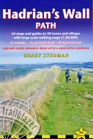 Wandelgids Hadrian's Wall Path | Trailblazer Guides
Goede wandelgids van de hele route van kust naar kust. Met veel details zijn alle etappes beschreven. Tevens informatie over overnachtingen en openbaar vervoer. Hadrian’s Wall Path, 84 miles from …
★★★★★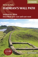 Wandelgids Hadrian's Wall Path | Cicerone
Meest duidelijke wandelgids van de route: veel details in kaarten en informatie, beide kanten op beschreven! The essential guidebook to walking the 84-mile Hadrian’s Wall Path. One of the UK's …
★★★★★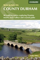 Wandelgids Walking in County Durham | Cicerone
Guidebook of walking routes in County Durham. The 40 day walks, ranging between 5 and 24km in length, explore all corners of this varied county, encompassing wild moorland, rolling pastures, …
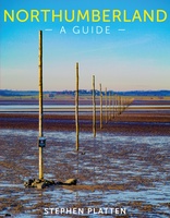 Reisgids Northumberland | Sacristy Press
Northumberland, one of the most sparsely-populated counties in England, with unique features like the Holy Island of Lindisfarne and Hadrian’s Wall, was also a crucible of European civilization and remains …
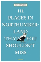 Reisgids 111 places in Northumberland You Shouldn't miss | Emons
Northumberland is the 'Land of the Far Horizon' and England's most northerly county. It was once a place of industrial innovation and manufacturing, literally fuelled by the coal brought up …
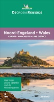 Reisgids Michelin groene gids Noord-Engeland/Wales | Lannoo
Laatste reviews

Kan de huidige ontstuimige ontwikkelingen wereldwijd, nu ook geografisch plaatsen en daarmee beter volgen.
★★★★★ door Leo Janssen 20 december 2024 | Heeft dit artikel gekocht
We hadden Piëmonte al eens bezocht en voor onze komende reis werd ons door kennissen deze gids aanbevolen. Inderdaad is dit een heel goede gids. …
★★★★★ door DWKdB 19 december 2024 | Heeft dit artikel gekocht
Mijn bestellingen zijn altijd goed en worden altijd op tijd geleverd. Komen afspraken goed na. Erg tevreden.
★★★★★ door Ben Wegdam 19 december 2024 | Heeft dit artikel gekocht
Zeer gedetailleerde kaart van het zuidelijke deel van het douaniers pad
★★★★★ door Marian 18 december 2024 | Heeft dit artikel gekocht

