South West England
 Reisgids The England Coast Path | gritstone Publishing
The England Coast Path is a new long distance path around the whole coast of England. At 2,88 miles, it is the longest coastal path in the world and provides …
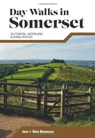 Wandelgids Day Walks in Somerset | Vertebrate Publishing
Day Walks in Somerset features 20 routes between 7 and 15 miles (11km and 24km) in length, spread across the county of Somerset, including the Exmoor National Park. Researched and …
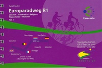 Fietsgids Europaradweg R1 deel 3: London - Münster | IS Radweg
Duitstalige beschrijving van een groot deel van de R1 van Londen tot aan Münster in Duitsland. Goede beschrijving met kaarten. Nu de R1 voor het gedeelte door Frankrijk, Belgie, …
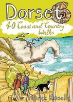 Wandelgids Dorset | Pocket Mountains
Handige compacte wandelgids met 40 dagwandelingen. Deze gids bevat kleine kaartjes en leuke uitgebreide informatie over wat er langs de route te zien is. Goede wandelkaarten zijn echter wel aan …
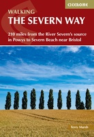 Wandelgids The Severn Way | Cicerone
Uitstekende wandelgids van de Severn Way, waarbij naast alle noodzakelijke informatie ook gebruik gemaakt wordt van de echte topografische kaart. Guidebook to walking the Severn Way, a 210 mile …
 Reisgids Pocket Bath, Bristol and the Southwest | Lonely Planet
Pocket reisgidsen van Lonely Planet zijn een kleinere versie dan de 'echte' Planets. Vaak echter van bijzondere bestemmingen binnen een bepaald land waardoor er meer aandacht is en uitgebreidere tips …
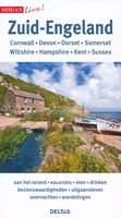 Reisgids Merian live Zuid Engeland | Deltas
Reisgids Zuid Engeland is klein en handzaam : Merian live! Zuid Engeland ontdekken en beleven, een handzame reisgezel, met actuele informatie over bezienswaardigheden, cafe's, hotels, de lokale keuken, winkelen en …
 Reisgids Great West Way | Rough Guides
Discover the Great West Way with this comprehensive, entertaining, 'tell it like it is' Rough Guide, packed with comprehensive practical information and our experts' honest and independent recommendations. Whether you …
 Spoorwegenkaart England Southeast & Midlands Rail/Road | ITMB
The shape of the UK makes it difficult to map logically. The term South East, within crowded England, is generally more restrictive than is appropriate for a map. Our definition …
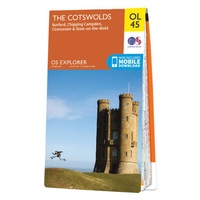 Wandelkaart - Topografische kaart OL45 OS Explorer Map The Cotswolds | Ordnance Survey
Met zijn 4cm voor 1 km (2 ½ cm voor 1 mijl) schaal, is de OS Outdoor Leisure kaartenserie de ideale en meest gedetailleerde kaartenreeks voor mensen die graag outdoor-activiteiten …
★★★★★ Wandelkaart - Topografische kaart OL15 OS Explorer Map Purbeck and South Dorset | Ordnance Survey
Gaze back through 185 million years of history as you explore the Jurassic Coast or go wildlife spotting in the South Dorset countryside. Sweeping golden beaches and spectacular cliff scenery …
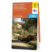 Wandelkaart - Topografische kaart OL22 OS Explorer Map New Forest | Ordnance Survey
Een van de beste detailkaarten die er op de wereld gemaakt worden: zeer gedetailleerd, prachtig helder kleurgebruik, veel topografische aspecten en - zeer belangrijk - allerlei toeristische en recreatieve aspecten …
 Wandelgids Weekend Walks Brighton and the South Downs | Pocket Mountains
Facing the sea and backed by rolling chalk downland, Brighton is a great place from which to explore one of England's most recognisable and best-loved landscapes. As well as the …
 Reisgids Michelin groene gids Zuid-Engeland | Lannoo
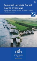 Fietskaart 03 Cycle Maps UK Somerset Levels and Dorset Downs | Cordee
Een nieuwe fietskaarten serie van Groot-Brittannië. Gedrukt op scheur- en watervast papier en mooi handzaam klein formaat. Deze kaarten zijn met name heel goed om de Lange Afstands Fietsroutes (LF) …
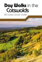 Wandelgids Day Walks in the Cotswolds | Vertebrate Publishing
Day Walks in the Cotswolds features 20 circular routes, between 7.1 and 12.6 miles (11.5km and 20.2km), suitable for hillwalkers of all abilities. Split across three areas - North-East Cotswolds, …
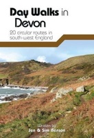 Wandelgids Day Walks in Devon | Vertebrate Publishing
Day Walks in Devon features 20 circular routes, between 8.8 and 17.6 miles (14.1km and 28.3km), suitable for hillwalkers of all abilities. The routes are split into five geographical areas: …
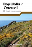 Wandelgids Day Walks in Cornwall | Vertebrate Publishing
Day Walks in Cornwall features 20 circular routes between 7.2 and 13.7 miles (11.6km and 22km) in length, suitable for hillwalkers of all abilities. Researched and written by experienced authors …
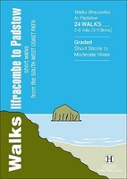 Wandelgids Ilfracombe to Padstow | Hallewell Publications
Walks Ilfracombe to Padstow features a selection of the best short walks from the section of South West Coast Path which runs between the towns of Ilfracombe in the north …
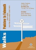 Wandelgids Padstow to Falmouth | Hallewell Publications
Walks Padstow to Falmouth features a selection of the best short walks from the section of South West Coast Path which runs between the towns of Padstow in the north …
Laatste reviews

Kan de huidige ontstuimige ontwikkelingen wereldwijd, nu ook geografisch plaatsen en daarmee beter volgen.
★★★★★ door Leo Janssen 20 december 2024 | Heeft dit artikel gekocht
We hadden Piëmonte al eens bezocht en voor onze komende reis werd ons door kennissen deze gids aanbevolen. Inderdaad is dit een heel goede gids. …
★★★★★ door DWKdB 19 december 2024 | Heeft dit artikel gekocht
Mijn bestellingen zijn altijd goed en worden altijd op tijd geleverd. Komen afspraken goed na. Erg tevreden.
★★★★★ door Ben Wegdam 19 december 2024 | Heeft dit artikel gekocht
Zeer gedetailleerde kaart van het zuidelijke deel van het douaniers pad
★★★★★ door Marian 18 december 2024 | Heeft dit artikel gekocht

