Wegenatlassen - Europa
 Wegenatlas IJsland met stadsplattegronden | Ferdakort
Super handige kleine wegenatlas van IJsland (schaal 1:500.000) met vooral een enorme hoeveelheid plattegronden van steden en dorpen, enkele themakaarten en een groot register. De kaarten zijn uitstekend leesbaar en …
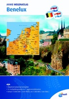 Wegenatlas Benelux | ANWB Media
Ga goed voorbereid op reis met de vernieuwde ANWB Wegenatlas Benelux. De ANWB Wegenatlas Benelux is gedetailleerd en mooi van vormgeving. Met informatie over cultuur, actieve recreatie en een uitgebreid …
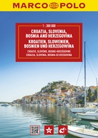 Wegenatlas Slowenië, Kroatië, Bosnië & Hercegovina | A4 | Ringband | Marco Polo
Uitstekende wegenatlas van Slowenië, Kroatië, Bosnië & Hercegovina op een behoorlijk gedetailleerde schaal. Wegen zijn met wegnummers aangeduid, afstanden tussen hoofdplaatsen staan er duidelijk op en met symbolen worden allerlei …
★★★★★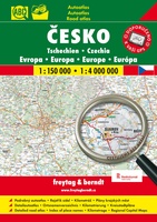 Wegenatlas Superatlas Tsjechische Republiek - Tsjechië | Freytag & Berndt
Goede, gedetailleerde wegenatlas van Tsjechië, met register, schaal 1:150.000 + Europa 1:400.000 De berijdbare wegen zijn goed weergeven, zowel de hoofdwegen als provinciale en lokale wegen; wegnummers worden vermeld. Afstanden …
★★★★★ Wegenatlas IJsland | Ferdakort
Gedetailleerde wegenatlas van IJsland, met duidelijke en gedetailleerde wegenkaarten van de topografische dienst op een schaal van 1:200.000. This road atlas is based on a map database on a scale …
★★★★★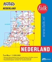 Wegenatlas Routiq autokaart Nederland Tab Map | Falk
De meest gebruiksvriendelijke wegenkaart van Nederland is ongetwijfeld de Falk Routiq Tab Map. De Routiq Tab Map bladen zijn in een handige ringband gebonden, waar je op de rechterzijde inzoomt …
★★★★★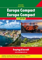 Wegenatlas Europa compact atlas | Freytag & Berndt
 Wegenatlas Zwitserland touring atlas | Hallwag
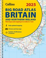 Wegenatlas Big Road Atlas Britain and Northern Ireland 2025 | A3 | Ringband | Collins
Grote wegenatlas, a3-formaat in ringband. The ultimate 3.2 miles to 1 inch scale large-format, spiral-bound road atlas of Britain, featuring Collins’ popular and well established road mapping, and designed for …
★★★★★★★★★★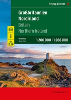 Wegenatlas Großbritannien - Nordirland - Groot Brittanië & Noord Ierland | A4 | Ringband | Freytag & Berndt
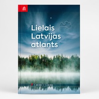 Wegenatlas Lielais Latvijas atlants - Letland | Jana Seta
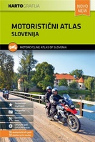 Wegenatlas Slovenia Motorcycle atlas - 18 routes | Kartografija
 Wegenatlas Great Britain and Northern Ireland Road Atlas 2024 | A-Z Map Company
A full-colour, paperback road atlas of Great Britain, now fully revised and updated. Clear detailed road mapping at a scale of 3.5 miles to 1 inch. Presented in a large, …
 Wegenatlas - Stadsplattegrond Bristol and Bath Streetatlas | A-Z Map Company
Navigate your way around Bristol and Bath with this detailed and easy-to-use A-Z Street Atlas. Printed in full-colour, paperback format, this atlas contains 104 pages of continuous street mapping. More …
★★★★★ Wegenatlas Philip's Easy to Read Road Atlas of Britain 2025 | A3-Formaat | Paperback | Philip's Maps
With the detail you need at a size you can read, the latest edition of 2025 Philip's Big Easy to Read Road Atlas of Britain is super-clear, super-sized and bang …
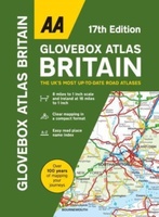 Wegenatlas AA Glovebox Atlas Britain | AA Publishing
This handy atlas fits in the glovebox of your car, perfect for quick referencing on the move. The clear mapping includes a range of essential motoring and useful touring information …
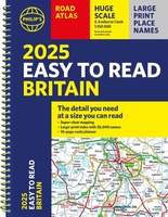 Wegenatlas Philip's Easy to Read Road Atlas of Britain 2025 | A4-Formaat | Ringband | Philip's Maps
"The detail you need at a size you can read". The latest 2025 Philip's Easy to Read Road Atlas of Britain from the best-selling Road Atlas range has over 350 …
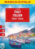 Wegenatlas Italien - Italie | A4 | Ringband | Marco Polo
Mooie wegenatlas van Marco Polo van Italie. Veel detail met wegenummers, onderscheid in verschillende wegen, afstanden tussen dorpen en steden. Ook bezienswaardigheden en andere toeristische aspecten staan met symbolen ingetekend. …
 Wegenatlas Local Explorer Street Atlas Somerset | Philip's Maps
Prachtige wegenatlas van Somerset voor fietsers en wandelaars op een super gedetaileerde schaal! Met Lange afstandsfietsroutes en wandelroutes. Who hasn't explored and enjoyed their surrounding area recently and come …
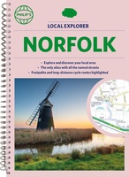 Wegenatlas Local Explorer Street Atlas Norfolk | Philip's Maps
Who hasn't explored and enjoyed their surrounding area in recent years and come to appreciate what is on our respective doorsteps? Philip's have created this new series for walkers, cyclists …
Laatste reviews

Kan de huidige ontstuimige ontwikkelingen wereldwijd, nu ook geografisch plaatsen en daarmee beter volgen.
★★★★★ door Leo Janssen 20 december 2024 | Heeft dit artikel gekocht
We hadden Piëmonte al eens bezocht en voor onze komende reis werd ons door kennissen deze gids aanbevolen. Inderdaad is dit een heel goede gids. …
★★★★★ door DWKdB 19 december 2024 | Heeft dit artikel gekocht
Mijn bestellingen zijn altijd goed en worden altijd op tijd geleverd. Komen afspraken goed na. Erg tevreden.
★★★★★ door Ben Wegdam 19 december 2024 | Heeft dit artikel gekocht
Zeer gedetailleerde kaart van het zuidelijke deel van het douaniers pad
★★★★★ door Marian 18 december 2024 | Heeft dit artikel gekocht

