Zuid-Afrika
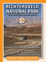 Wegenkaart - landkaart Richtersveld National Park and Northern Namaqualand | Infomap
Wegenkaart met toeristische informatie en geschikt voor gebruik met GPS The original InfoMap! Now in its 8th edition this map remains as popular as ever. For those who don’t …
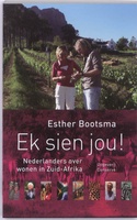 Reisverhaal Ek sien jou! | Esther Bootsma
Als je wilt kun je de afslag nemen naar Middelburg. Of naar Ermelo. Of via de Heerengracht lopen naar de Breestraat. Geen wonder dat Nederlanders zich thuis voelen in Zuid-Afrika. …
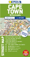 Stadsplattegrond Streetmap Cape Town - Kaapstad | MapStudio
Uitgebreide stadsplattegrond van Kaapstad en directe omgeving. The Cape Town & Peninsula Street Map is the ideal travel companion to find your way around Cape Town. Coverage includes: …
 Reisgids The Complete Guide To African Safaris | Fodor's Travel
Zeer complete gids over de mogelijkheden van safari's in bovenstaande landen. Vol met informatie over verblijfplaatsen, wanneer de beste tijd is etc. Whether you want to follow the Great Migration …
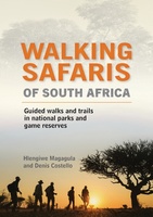 Reisgids - Natuurgids Walking Safaris in South Africa - Zuid Afrika | Struik Nature
Swapping a vehicle for two feet is the way to explore the wilderness, like our ancestors once did: in the tracks of wild animals, absorbing the scents and sounds of …
 Reisgids - Natuurgids Game Parks of South Africa - Zuid Afrika wildparken | Rough Guides
Een prachtige reisgids met een uitgebreid overzicht van de Wildparken in Zuid Afrika: heel veel praktische informatie over accommodaties, beste reistijd, hoe te verplaatsen en ga zo maar door. Achterin …
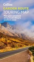 Wegenkaart - landkaart Touring Maps Garden Route | Collins
Full color, informative map of South Africa’s popular Garden Route. With detailed mapping and tourist information, this map is a perfect guide to traveling along the southern coast of South …
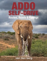 Reisgids - Reishandboek Addo Self-drive | HPH Publishing
Addo Elephant National Park is a diverse wildlife conservation park situated close to Gqeberha in South Africa and is one of the country's 20 national parks. It currently ranks third …
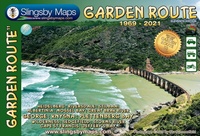 Wegenkaart - landkaart Garden Route | Zuid Afrika | Slingsby Maps
Brand new 11th edition of the FIRST and still the BEST Garden Route map … Now thoroughly updated. From Witsand and Heidelberg in the west, this ALL-NEW map has been …
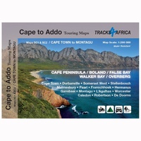 Wegenkaart - landkaart SC1-SC2 Cape Town to Montagu | Tracks4Africa
We start in Cape Town in the west and move along the southern coast through the Overberg, Winelands, Garden Route, Klein Karoo R62, Baviaanskloof to eventually arrive in the Addo …
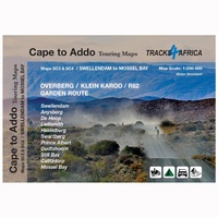 Wegenkaart - landkaart SC3-SC4 Swellendam to Mossel Bay | Tracks4Africa
The Cape to Addo map series covers the southern parts of the Western Cape of South Africa in a series of eight highly detailed maps, printed on four sheets of …
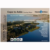 Wegenkaart - landkaart SC5-SC6 George to Kareedouw | Tracks4Africa
The Cape to Addo map series covers the southern parts of the Western Cape of South Africa in a series of eight highly detailed maps, printed on four sheets of …
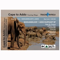 Wegenkaart - landkaart SC7-SC8 Baviaanskloof to Addo | Tracks4Africa
The Cape to Addo map series covers the southern parts of the Western Cape of South Africa in a series of eight highly detailed maps, printed on four sheets of …
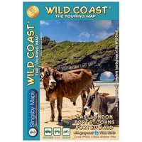 Wegenkaart - landkaart South Africa: Wild Coast | Slingsby Maps
Wild Coast Brand new 6th Edition of this great map : for 15 years the best and only detailed touring map of the Wild Coast! The Wild Coast …
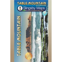 Wandelkaart South Africa: Table Mountain | Slingsby Maps
This highly detailed map shows all approved paths on the mountain and includes full GPS information. The map shows the Hoerikwaggo and the Peoples Trail, and covers the area from …
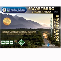 Wegenkaart - landkaart South Africa: Swartberg & Klein-Karoo | Slingsby Maps
All roads from National Highways to minor gravel roads are shown; the many classifications that indi- cate the quality of each road help you plan your route No less than …
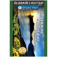 Wandelkaart South Africa: Silvermine & Hout Bay | Slingsby Maps
The map also includes: The Constantia Winelands All sections of the Hoerikwaggo Trail are shown All approved paths, with detailed DDMMSS GPS coordinates for major junctions, are clearly marked …
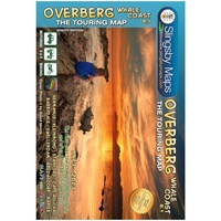 Wegenkaart - landkaart South Africa: Overberg Whale Coast | Slingsby Maps
The Overberg is one of the premier tourist regions of South Africa. Here the Cape Fold Mountains march eastward from Sir Lowry’s Pass, a rugged backdrop to this old Cape …
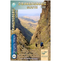 Wandelkaart 5&6 South Africa: Drakensberg South | Slingsby Maps
This double-sided map is the third of three maps in the latest edition of our famous “Slingsby” Drakensberg map series. Side One covers the area from Lotheni southwards through Vergelegen …
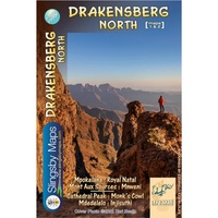 Wandelkaart 1&2 South Africa: Drakensberg North | Slingsby Maps
DRAKENSBERG NORTH: This double‑sided A1-sized map is the first of three maps in the latest edition of our famous “Slingsby” Drakensberg map series. Side One covers the area from Mpokelana …
Laatste reviews

We hebben al meer boekjes uit de Bikeline serie gehad en bevallen uitstekend
★★★★★ door Klaas Doornbos 10 november 2024 | Heeft dit artikel gekocht
Na een zeer snelle levering door de Zwerver, heb ik al snel een eerste stuk mogen lopen van de prachtige tour du Morvan. Boekje is …
★★★★★ door annemieke reuvecamp 09 november 2024 | Heeft dit artikel gekocht
Zeer complete en geplastificeerde kaart.Erg bruibaar en duidelijk.
★★★★★ door Oda Buijs 08 november 2024 | Heeft dit artikel gekocht
We waren daar ook al in 2010. Ik weet niet meer hoe we dat toen deden, maar dit zal een stuk beter gaan.
★★★★★ door Rein Nonnekes 07 november 2024 | Heeft dit artikel gekocht

