Cicerone
Fijne wandelgidsen en fietsgidsen van Cicerone voor wandelaars, hikers & fietsers
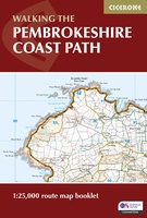 Wandelgids Walking the Pembrokeshire Coast Path map booklet | Cicerone
A booklet of all the mapping needed to walk the Pembrokeshire Coast Path National Trail between Amroth near Tenby and St Dogmaels by Cardigan. Covering 290km (180 miles) and over …
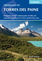 Wandelgids Trekking Torres del Paine - Chili | Cicerone
Guidebook to trekking in the heart of Patagonia, with routes in Torres del Paine National Park (Chile) and Los Glaciares National Park (Argentina). While the region is primarily a remote …
★★★★★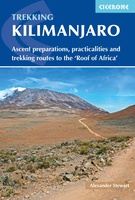 Wandelgids Kilimanjaro trekking | Cicerone
Goede trekking - wandelgids van de Kilimanjaro. Beklimmingen kunnen van alle kanten in vele vormen en vrijwel alle routes staan goed beschreven in deze gids. Veel praktische informatie en een …
★★★★★★★★★★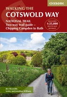 Wandelgids The Cotswold Way | Cicerone
Uitstekende wandelgids van de Cotswolds Way, waarbij naast alle noodzakelijke informatie ook gebruik gemaakt wordt van de echte topografische kaart. inclusief gidsje met routekaarten van 1:25000 (deze is hier ook los …
★★★★★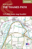 Wandelgids The Thames Path | Cicerone
All the mapping you need to complete the 182 mile (290km) Thames Path National Trail, from the Woolwich Foot Tunnel in London to the river's source in Gloucestershire. This booklet …
 Wandelgids 15 Short Walks Short Walks in Cornwall | Cicerone
15 of the best short walks in Cornwall around Falmouth and the Lizard. Handpicked by Cicerone's expert author, and with no complicated navigation or challenging terrain, these walks can be …
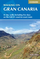 Wandelgids Walking on Gran Canaria | Cicerone
Uitgebreide wandelgids van dit deel van Gran Canaria: goede beschrijvingen, veel keuze, kaarten wat minder goed. Guidebook describing 45 day walks on Gran Canaria, generally averaging 10 to 12km …
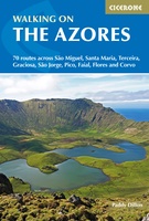 Wandelgids Walking on the Azores - Azoren | Cicerone
Uitstekende Engelstalige wandelgids waarbij de wandelingen goed beschreven staan met daarnaast een behoorlijke hoeveelheid praktische informatie als zwaarte, hoogtemeters maar ook bereikheid met OV en mogelijke eetgelegenheden. Kaartmateriaal - afhankelijk …
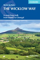 Wandelgids Walking the Wicklow Way | Cicerone
The Wicklow Way was the first long-distance walking trail to be established in Ireland. Coming in at 130km (81 miles), the route traverses the county of Wicklow, from Marlay Park …
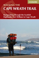 Wandelgids The Cape Wrath Trail | Cicerone
Uitstekende wandelgids die in etappes de route nauwkeurig beschijft. A guidebook to the Cape Wrath Trail, a long-distance trek through the Scottish Highlands from Fort William to Cape Wrath. The …
★★★★★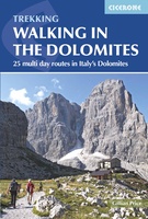 Wandelgids Walking in the Dolomites - Dolomieten | Cicerone
Uitstekende wandelgids van een gerenommeerde Engelse uitgever. De tochten zijn met zorg beschreven en voorzien van allerhande nuttige informatie. Guidebook to 25 multi day walks in the Dolomites mountains of …
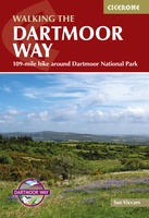 Wandelgids Walking the Dartmoor Way | Cicerone
This guidebook presents the Dartmoor Way, a 175km (109 mile) walk around Dartmoor National Park in Devon. Walked in 10 day-long stages between 12.75 and 20.5km (8 and 12.75 miles) …
 Wandelgids Mountains of Ronda and Grazalema | Cicerone
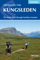 Wandelgids Trekking The Kungsleden | Cicerone
Sweden's most famous long-distance trail, the Kungsleden (King's Trail) traverses the land of the Sámi people and the midnight sun, stretching 460km between Abisko and Hemavan. Around half the route …
★★★★★ Fietsgids Cycle Touring in Wales | Cicerone
Fietsgids van een langere route door Wales met een paar short-cuts als mogelijkheden: een behoorlijke lange route en niet te onderschatten wat betreft de zwaarte. Goede beschrijvingen, heel wat praktische …
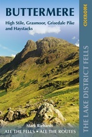 Wandelgids Buttermere | Lake District Fells | Cicerone
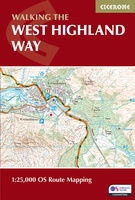 Wandelatlas West Highland Way Map Booklet - Kaartenset | Cicerone
Heel handig bedacht van uitgever Cicerone: een boekje dat dienst doet als atlas met alle topografische kaarten die je nodig hebt voor het lopen van de West Highland Way. Past …
 Fietsgids The River Loire Cycle Route | Cicerone
This guide describes a 1061km cycle route that starts at source of the Loire in the Massif Central mountains of central France and finishes at the Atlantic opposite St Nazaire. …
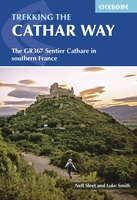 Wandelgids The Cathar Way | Cicerone
Guidebook to the GR367 Cathar Way (Sentier Cathare) in the Languedoc region of southern France. The 260km waymarked trail from Port la Nouvelle on the Mediterranean to Foix traces the …
★★★★★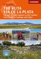 Fietsgids Cycling the Ruta Via de la Plata | Cicerone
This guidebook to cycling the Ruta Via de la Plata through western Spain describes the 930km route from Seville to the coastal city of Gijón in around 2 weeks (14 …
Laatste reviews

Kan de huidige ontstuimige ontwikkelingen wereldwijd, nu ook geografisch plaatsen en daarmee beter volgen.
★★★★★ door Leo Janssen 20 december 2024 | Heeft dit artikel gekocht
We hadden Piëmonte al eens bezocht en voor onze komende reis werd ons door kennissen deze gids aanbevolen. Inderdaad is dit een heel goede gids. …
★★★★★ door DWKdB 19 december 2024 | Heeft dit artikel gekocht
Mijn bestellingen zijn altijd goed en worden altijd op tijd geleverd. Komen afspraken goed na. Erg tevreden.
★★★★★ door Ben Wegdam 19 december 2024 | Heeft dit artikel gekocht
Zeer gedetailleerde kaart van het zuidelijke deel van het douaniers pad
★★★★★ door Marian 18 december 2024 | Heeft dit artikel gekocht

