Wegenatlassen - Ierland
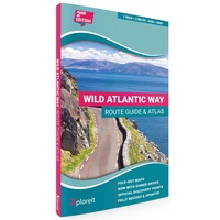 Wegenatlas The Wild Atlantic Way Ierland | Xploreit Maps
Yvonne Gordon provides an essential guide to Ireland's epic coastal driving route - the Wild Atlantic Way. In this newly revised and updated edition she divides the route into 16 …
★★★★★★★★★★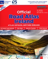 Wegenatlas Official Roadatlas of Ireland - Ierland | Ordnance Survey Ireland
Mooie atlas met bijzonder kleurgebruik. Hoogte wordt hierdoor zeer duidelijk weergegeven. Met alle noodzakelijke en toeristische informatie, afstandentabel, stadsplattegronden en register . In ringband uitgevoerd tussen A4 en A5 qua …
★★★★★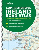 Wegenatlas Ireland Comprehensive Road Atlas - Ierland | Collins
Duidelijke en gedetailleerde atlas voor Ierland in A4-formaat met ringband. Clear, detailed road atlas of Ireland in a handy A4 spiral-bound format. This comprehensive, general purpose road atlas of …
★★★★★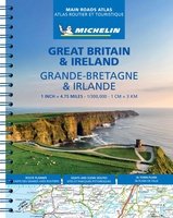 Wegenatlas Great Britain and Ireland 2024 - Main Roads Atlas (A4-Spiral) | Michelin
Full of practical features, the Michelin Great Britain & Ireland 2024 - Main Roads Atlas (A4-Spiral) is the perfect companion for your everyday journey and holiday planning. Updated every year, …
★★★★★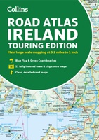 Wegenatlas Road Atlas Ireland | Collins
Explore Ireland with this accurate and fully updated road atlas. This road atlas is at A4 size, covering the whole of Ireland and features clear and detailed Collins colour mapping …
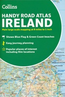 Wegenatlas Handy Road Atlas Ireland - Ierland | Collins
Handzame wegenatlas op A5 formaat van Ierland. Vrij grove schaal maar heel handig door formaat en goed kaartbeeld. Met enkele stadsplattegronden en een paar pagina's met hoogtepunten van het land. …
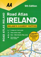 Wegenatlas Road Atlas Ireland - Ierland | AA Publishing
Handige wegenatlas van Ierland en Noord-Ierland, schaal 1:200.000. Met 10 stadsplattegronden: Belfast, Cork, Londonderry, Dublin, Galway, Killarney, Kilkenny, Limerick, Sligo and Waterford. Created from brand new mapping data, this atlas …
★★★★★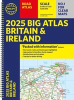 Wegenatlas Big Atlas Britain & Ireland 2024 A3-Formaat | Philip's Maps
Goede gedetailleerde wegenatlas van Groot-Brittannië, schaal 1:200.000 met een overzichtskaart van Ierland, schaal 1:1.000.000. Groot formaat, A3, en in ringband. 'Good balance between detail and clarity with excellent town maps' …
★★★★★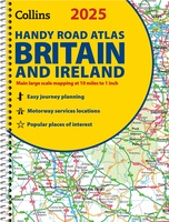 Wegenatlas 2025 Collins Handy Road Atlas Britain and Ireland | Collins
Handzame A5 wegenatlas van Engeland, Wales, Schotland en Ierland met register en stadsplattegronden This easy-to-use, handy A5 sized road atlas with popular lie-flat spiral binding features extremely clear route planning …
★★★★★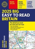 Wegenatlas Philip's Easy to Read Road Atlas of Britain 2025 | A3-Formaat | Paperback | Philip's Maps
With the detail you need at a size you can read, the latest edition of 2025 Philip's Big Easy to Read Road Atlas of Britain is super-clear, super-sized and bang …
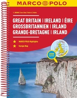 Wegenatlas Groot Brittannie & Ierland | Marco Polo
Goede wegenatlas met gedetailleerde kaarten. Alle wegen staan erop vermeldt plus onverharde wegen. Pittoreske weggetjes die de moeite waard zijn, zijn groen gearceerd. Alle toeristische informatie, ook campings zijn er …
Laatste reviews

Kan de huidige ontstuimige ontwikkelingen wereldwijd, nu ook geografisch plaatsen en daarmee beter volgen.
★★★★★ door Leo Janssen 20 december 2024 | Heeft dit artikel gekocht
We hadden Piëmonte al eens bezocht en voor onze komende reis werd ons door kennissen deze gids aanbevolen. Inderdaad is dit een heel goede gids. …
★★★★★ door DWKdB 19 december 2024 | Heeft dit artikel gekocht
Mijn bestellingen zijn altijd goed en worden altijd op tijd geleverd. Komen afspraken goed na. Erg tevreden.
★★★★★ door Ben Wegdam 19 december 2024 | Heeft dit artikel gekocht
Zeer gedetailleerde kaart van het zuidelijke deel van het douaniers pad
★★★★★ door Marian 18 december 2024 | Heeft dit artikel gekocht

